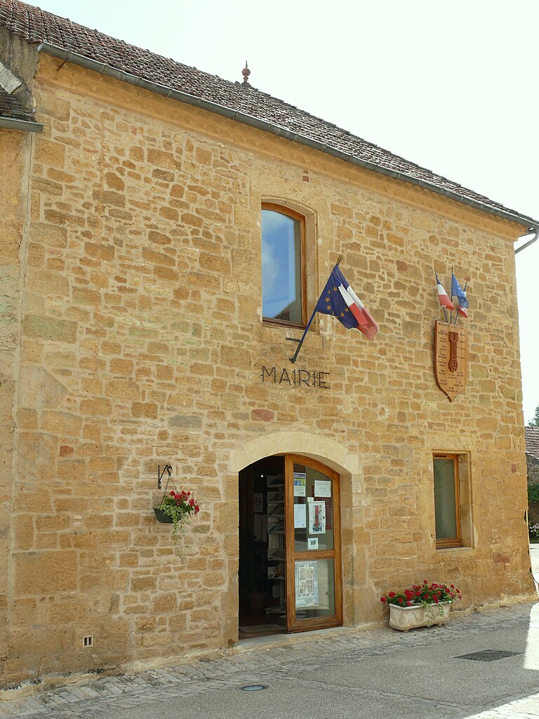
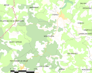
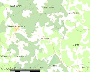
canton of Cazals (canton de Cazals)
- canton of France (until March 2015)
- Country:

- Capital: Cazals
- Coordinates: 44° 38' 38" N, 1° 13' 38" E


- GPS tracks (wikiloc): [Link]
- Wikidata storage: Wikidata: Q513313
- INSEE canton code: [4607]
Includes regions:
Pomarède
- commune in Lot, France
- Country:

- Postal Code: 46250
- Coordinates: 44° 33' 53" N, 1° 10' 15" E


- GPS tracks (wikiloc): [Link]
- Area: 7.04 sq km
- Population: 171


Marminiac
- commune in Lot, France
- Country:

- Postal Code: 46250
- Coordinates: 44° 39' 56" N, 1° 11' 38" E


- GPS tracks (wikiloc): [Link]
- Area: 22.88 sq km
- Population: 371
- Web site: [Link]


Montcléra
- commune in Lot, France
- Country:

- Postal Code: 46250
- Coordinates: 44° 37' 12" N, 1° 12' 37" E


- GPS tracks (wikiloc): [Link]
- Area: 20.91 sq km
- Population: 281
Gindou
- commune in Lot, France
- Country:

- Postal Code: 46250
- Coordinates: 44° 37' 53" N, 1° 15' 0" E


- GPS tracks (wikiloc): [Link]
- Area: 15.65 sq km
- Population: 313


Saint-Caprais
- commune in Lot, France
- Country:

- Postal Code: 46250
- Coordinates: 44° 36' 25" N, 1° 9' 30" E


- GPS tracks (wikiloc): [Link]
- Area: 8.85 sq km
- Population: 67
- Web site: [Link]


Cazals
- commune in Lot, France
- Country:

- Postal Code: 46250
- Coordinates: 44° 38' 36" N, 1° 13' 35" E


- GPS tracks (wikiloc): [Link]
- AboveSeaLevel: 177 м m
- Area: 10.57 sq km
- Population: 627
- Web site: [Link]


Frayssinet-le-Gélat
- commune in Lot, France
- Country:

- Postal Code: 46250
- Coordinates: 44° 34' 57" N, 1° 9' 50" E


- GPS tracks (wikiloc): [Link]
- Area: 23.14 sq km
- Population: 354


Les Arques
- commune in Lot, France
- Country:

- Postal Code: 46250
- Coordinates: 44° 36' 9" N, 1° 15' 3" E


- GPS tracks (wikiloc): [Link]
- Area: 15.05 sq km
- Population: 198


Goujounac
- commune in Lot, France
- Country:

- Postal Code: 46250
- Coordinates: 44° 34' 35" N, 1° 11' 48" E


- GPS tracks (wikiloc): [Link]
- Area: 10.38 sq km
- Population: 225