canton of Châtillon-sur-Indre (canton de Châtillon-sur-Indre)
- canton of France (until March 2015)
- Country:

- Capital: Châtillon-sur-Indre
- Coordinates: 46° 59' 24" N, 1° 10' 30" E


- GPS tracks (wikiloc): [Link]
- Wikidata storage: Wikidata: Q971580
- Wikipedia Commons Category: [Link]
- INSEE canton code: [3608]
Includes regions:
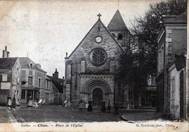

Clion
- commune in Indre, France
- Country:
- Postal Code: 36700
- Coordinates: 46° 56' 29" N, 1° 13' 58" E
- GPS tracks (wikiloc): [Link]
- Area: 33.53 sq km
- Population: 1063
Le Tranger
- commune in Indre, France
- Country:
- Postal Code: 36700
- Coordinates: 46° 57' 25" N, 1° 14' 25" E
- GPS tracks (wikiloc): [Link]
- Area: 22.26 sq km
- Population: 163
Saint-Cyran-du-Jambot
- commune in Indre, France
- Country:
- Postal Code: 36700
- Coordinates: 47° 0' 59" N, 1° 8' 24" E
- GPS tracks (wikiloc): [Link]
- Area: 14.21 sq km
- Population: 225
Saint-Médard
- commune in Indre, France
- Country:
- Postal Code: 36700
- Coordinates: 46° 59' 59" N, 1° 14' 48" E
- GPS tracks (wikiloc): [Link]
- Area: 12.6 sq km
- Population: 44
- Web site: [Link]
Murs
- commune in Indre, France
- Country:
- Postal Code: 36700
- Coordinates: 46° 54' 52" N, 1° 9' 40" E
- GPS tracks (wikiloc): [Link]
- Area: 23.05 sq km
- Population: 128
Fléré-la-Rivière
- commune in Indre, France
- Country:
- Postal Code: 36700
- Coordinates: 47° 1' 11" N, 1° 6' 30" E
- GPS tracks (wikiloc): [Link]
- Area: 25.31 sq km
- Population: 558
Cléré-du-Bois
- commune in Indre, France
- Country:
- Postal Code: 36700
- Coordinates: 46° 55' 24" N, 1° 6' 7" E
- GPS tracks (wikiloc): [Link]
- Area: 36.13 sq km
- Population: 259


Châtillon-sur-Indre
- commune in Indre, France
- Country:
- Postal Code: 36700
- Coordinates: 46° 59' 16" N, 1° 10' 25" E
- GPS tracks (wikiloc): [Link]
- Area: 45.3 sq km
- Population: 2681
- Web site: [Link]


Palluau-sur-Indre
- commune in Indre, France
- Country:
- Postal Code: 36500
- Coordinates: 46° 56' 38" N, 1° 18' 42" E
- GPS tracks (wikiloc): [Link]
- Area: 41.55 sq km
- Population: 772
- Web site: [Link]
Arpheuilles
- commune in Indre, France
- Country:
- Postal Code: 36700
- Coordinates: 46° 54' 0" N, 1° 16' 40" E
- GPS tracks (wikiloc): [Link]
- Area: 22.49 sq km
- Population: 224