Palluau-sur-Indre (Palluau-sur-Indre)

- commune in Indre, France
- Country:

- Postal Code: 36500
- Coordinates: 46° 56' 38" N, 1° 18' 42" E


- GPS tracks (wikiloc): [Link]
- Area: 41.55 sq km
- Population: 772
- Web site: http://www.palluau-sur-indre.fr
- Wikipedia en: wiki(en)
- Wikipedia: wiki(fr)
- Wikidata storage: Wikidata: Q785999
- Wikipedia Commons Category: [Link]
- Freebase ID: [/m/03nv9sm]
- GeoNames ID: Alt: [2988699]
- SIREN number: [213601495]
- BnF ID: [15257453m]
- VIAF ID: Alt: [149248536]
- Library of Congress authority ID: Alt: [no99046609]
- PACTOLS thesaurus ID: [pcrtVLHUmRb04i]
- INSEE municipality code: 36149
Shares border with regions:
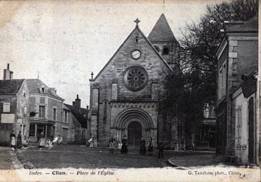

Clion
- commune in Indre, France
- Country:
- Postal Code: 36700
- Coordinates: 46° 56' 29" N, 1° 13' 58" E
- GPS tracks (wikiloc): [Link]
- Area: 33.53 sq km
- Population: 1063
Le Tranger
- commune in Indre, France
- Country:
- Postal Code: 36700
- Coordinates: 46° 57' 25" N, 1° 14' 25" E
- GPS tracks (wikiloc): [Link]
- Area: 22.26 sq km
- Population: 163
Saint-Médard
- commune in Indre, France
- Country:
- Postal Code: 36700
- Coordinates: 46° 59' 59" N, 1° 14' 48" E
- GPS tracks (wikiloc): [Link]
- Area: 12.6 sq km
- Population: 44
- Web site: [Link]


Villegouin
- commune in Indre, France
- Country:
- Postal Code: 36500
- Coordinates: 46° 57' 51" N, 1° 22' 23" E
- GPS tracks (wikiloc): [Link]
- Area: 24.03 sq km
- Population: 346

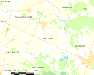
Saint-Genou
- commune in Indre, France
- Country:
- Postal Code: 36500
- Coordinates: 46° 55' 46" N, 1° 20' 17" E
- GPS tracks (wikiloc): [Link]
- Area: 24.41 sq km
- Population: 982
- Web site: [Link]
Arpheuilles
- commune in Indre, France
- Country:
- Postal Code: 36700
- Coordinates: 46° 54' 0" N, 1° 16' 40" E
- GPS tracks (wikiloc): [Link]
- Area: 22.49 sq km
- Population: 224