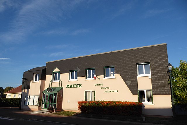
canton of Dreux-Est (canton de Dreux-Est)
- former canton of France (until March 2015)
- Country:

- Capital: Dreux
- Coordinates: 48° 43' 34" N, 1° 26' 26" E


- GPS tracks (wikiloc): [Link]
- Wikidata storage: Wikidata: Q1548161
- INSEE canton code: [2813]
Includes regions:


Sainte-Gemme-Moronval
- commune in Eure-et-Loir, France
- Country:

- Postal Code: 28500
- Coordinates: 48° 44' 17" N, 1° 24' 53" E


- GPS tracks (wikiloc): [Link]
- Area: 5.46 sq km
- Population: 1093
- Web site: [Link]


Luray
- commune in Eure-et-Loir, France
- Country:

- Postal Code: 28500
- Coordinates: 48° 43' 16" N, 1° 23' 49" E


- GPS tracks (wikiloc): [Link]
- Area: 4.46 sq km
- Population: 1595
- Web site: [Link]


Ouerre
- commune in Eure-et-Loir, France
- Country:

- Postal Code: 28500
- Coordinates: 48° 42' 4" N, 1° 27' 58" E


- GPS tracks (wikiloc): [Link]
- Area: 12.73 sq km
- Population: 713
- Web site: [Link]


Écluzelles
- commune in Eure-et-Loir, France
- Country:

- Postal Code: 28500
- Coordinates: 48° 42' 33" N, 1° 25' 28" E


- GPS tracks (wikiloc): [Link]
- Area: 3.22 sq km
- Population: 168
- Web site: [Link]


Cherisy
- commune in Eure-et-Loir, France
- Country:

- Postal Code: 28500
- Coordinates: 48° 44' 48" N, 1° 25' 19" E


- GPS tracks (wikiloc): [Link]
- Area: 12.38 sq km
- Population: 1874
- Web site: [Link]


Charpont
- commune in Eure-et-Loir, France
- Country:

- Postal Code: 28500
- Coordinates: 48° 42' 1" N, 1° 26' 22" E


- GPS tracks (wikiloc): [Link]
- Area: 7.12 sq km
- Population: 563


Mézières-en-Drouais
- commune in Eure-et-Loir, France
- Country:

- Postal Code: 28500
- Coordinates: 48° 43' 26" N, 1° 25' 31" E


- GPS tracks (wikiloc): [Link]
- Area: 8.4 sq km
- Population: 1085


La Chapelle-Forainvilliers
- commune in Eure-et-Loir, France
- Country:

- Postal Code: 28500
- Coordinates: 48° 43' 43" N, 1° 30' 6" E


- GPS tracks (wikiloc): [Link]
- AboveSeaLevel: 220 м m
- Area: 5.38 sq km
- Population: 199


Germainville
- commune in Eure-et-Loir, France
- Country:

- Postal Code: 28500
- Coordinates: 48° 44' 30" N, 1° 28' 55" E


- GPS tracks (wikiloc): [Link]
- Area: 8.67 sq km
- Population: 279