Luray (Luray)

- commune in Eure-et-Loir, France
- Country:

- Postal Code: 28500
- Coordinates: 48° 43' 16" N, 1° 23' 49" E


- GPS tracks (wikiloc): [Link]
- Area: 4.46 sq km
- Population: 1595
- Web site: http://www.luray.fr/
- Wikipedia en: wiki(en)
- Wikipedia: wiki(fr)
- Wikidata storage: Wikidata: Q1139954
- Wikipedia Commons Category: [Link]
- Freebase ID: [/m/03nqvdr]
- GeoNames ID: Alt: [6430787]
- SIREN number: [212802235]
- BnF ID: [152541532]
- INSEE municipality code: 28223
Shares border with regions:


Écluzelles
- commune in Eure-et-Loir, France
- Country:
- Postal Code: 28500
- Coordinates: 48° 42' 33" N, 1° 25' 28" E
- GPS tracks (wikiloc): [Link]
- Area: 3.22 sq km
- Population: 168
- Web site: [Link]

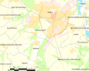
Vernouillet
- commune in Eure-et-Loir, France
- Country:
- Postal Code: 28500
- Coordinates: 48° 43' 15" N, 1° 21' 38" E
- GPS tracks (wikiloc): [Link]
- Area: 12.11 sq km
- Population: 12572
- Web site: [Link]