canton of Geispolsheim (canton de Geispolsheim)
- canton of France (until March 2015)
- Country:

- Capital: Geispolsheim
- Coordinates: 48° 31' 0" N, 7° 39' 0" E


- GPS tracks (wikiloc): [Link]
- Area: 97.4 sq km
- Wikidata storage: Wikidata: Q530938
- INSEE canton code: [6708]
Includes regions:


Blaesheim
- commune in Bas-Rhin, France
- Country:
- Postal Code: 67113
- Coordinates: 48° 30' 21" N, 7° 36' 33" E
- GPS tracks (wikiloc): [Link]
- Area: 9.96 sq km
- Population: 1334


Kolbsheim
- commune in Bas-Rhin, France
- Country:
- Postal Code: 67120
- Coordinates: 48° 33' 39" N, 7° 35' 18" E
- GPS tracks (wikiloc): [Link]
- Area: 3.33 sq km
- Population: 922

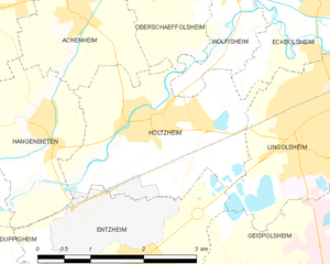
Holtzheim
- commune in Bas-Rhin, France
- Country:
- Postal Code: 67810
- Coordinates: 48° 33' 31" N, 7° 38' 28" E
- GPS tracks (wikiloc): [Link]
- Area: 6.91 sq km
- Population: 3577


Lipsheim
- commune in Bas-Rhin, France
- Country:
- Postal Code: 67640
- Coordinates: 48° 29' 29" N, 7° 39' 57" E
- GPS tracks (wikiloc): [Link]
- Area: 4.96 sq km
- Population: 2550
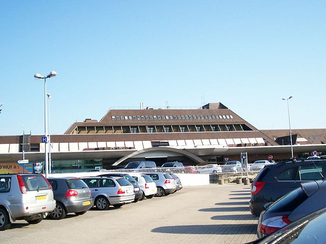

Entzheim
- commune in Bas-Rhin, France
- Country:
- Postal Code: 67960
- Coordinates: 48° 32' 5" N, 7° 38' 14" E
- GPS tracks (wikiloc): [Link]
- Area: 8.17 sq km
- Population: 2204


Fegersheim
- commune in Bas-Rhin, France
- Country:
- Postal Code: 67640
- Coordinates: 48° 29' 26" N, 7° 40' 49" E
- GPS tracks (wikiloc): [Link]
- Area: 6.25 sq km
- Population: 5476
- Web site: [Link]
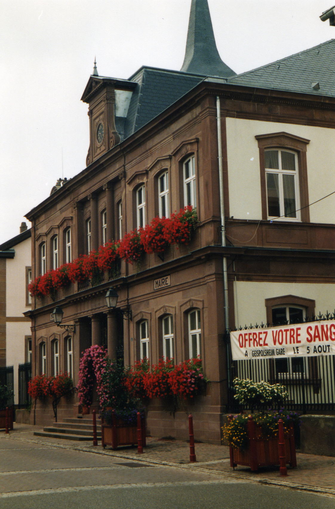
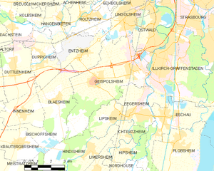
Geispolsheim
- commune in Bas-Rhin, France
- Country:
- Postal Code: 67118
- Coordinates: 48° 30' 54" N, 7° 38' 47" E
- GPS tracks (wikiloc): [Link]
- Area: 21.95 sq km
- Population: 7460
- Web site: [Link]


Duppigheim
- commune in Bas-Rhin, France
- Country:
- Postal Code: 67120
- Coordinates: 48° 31' 43" N, 7° 35' 37" E
- GPS tracks (wikiloc): [Link]
- Area: 7.38 sq km
- Population: 1576
- Web site: [Link]


Eschau
- commune in Bas-Rhin, France
- Country:
- Postal Code: 67114
- Coordinates: 48° 29' 17" N, 7° 42' 57" E
- GPS tracks (wikiloc): [Link]
- Area: 11.83 sq km
- Population: 4984
- Web site: [Link]