canton of Mer (canton de Mer)
- canton of France (until March 2015)
- Country:

- Capital: Mer
- Coordinates: 47° 42' 11" N, 1° 27' 42" E


- GPS tracks (wikiloc): [Link]
- Wikidata storage: Wikidata: Q912368
- INSEE canton code: [4110]
Includes regions:
La Chapelle-Saint-Martin-en-Plaine
- commune in Loir-et-Cher, France
- Country:

- Postal Code: 41500
- Coordinates: 47° 43' 2" N, 1° 24' 59" E


- GPS tracks (wikiloc): [Link]
- Area: 22.83 sq km
- Population: 724


Suèvres
- commune in Loir-et-Cher, France
- Country:

- Postal Code: 41500
- Coordinates: 47° 40' 0" N, 1° 27' 39" E


- GPS tracks (wikiloc): [Link]
- Area: 36.65 sq km
- Population: 1673
Avaray
- commune in Loir-et-Cher, France
- Country:

- Postal Code: 41500
- Coordinates: 47° 43' 21" N, 1° 33' 53" E


- GPS tracks (wikiloc): [Link]
- Area: 13.88 sq km
- Population: 733


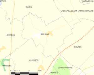
Mulsans
- commune in Loir-et-Cher, France
- Country:

- Postal Code: 41500
- Coordinates: 47° 41' 46" N, 1° 23' 6" E


- GPS tracks (wikiloc): [Link]
- Area: 16 sq km
- Population: 509


Villexanton
- commune in Loir-et-Cher, France
- Country:

- Postal Code: 41500
- Coordinates: 47° 44' 29" N, 1° 25' 19" E


- GPS tracks (wikiloc): [Link]
- Area: 11.53 sq km
- Population: 200
Lestiou
- commune in Loir-et-Cher, France
- Country:

- Postal Code: 41500
- Coordinates: 47° 44' 2" N, 1° 35' 15" E


- GPS tracks (wikiloc): [Link]
- Area: 8.29 sq km
- Population: 279


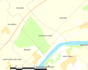
Cour-sur-Loire
- commune in Loir-et-Cher, France
- Country:

- Postal Code: 41500
- Coordinates: 47° 39' 19" N, 1° 25' 58" E


- GPS tracks (wikiloc): [Link]
- Area: 5.4 sq km
- Population: 282
Courbouzon
- commune in Loir-et-Cher, France
- Country:

- Postal Code: 41500
- Coordinates: 47° 42' 53" N, 1° 32' 37" E


- GPS tracks (wikiloc): [Link]
- Area: 6.41 sq km
- Population: 429


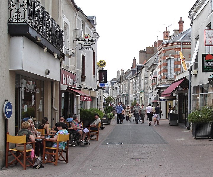
Mer
- commune in Loir-et-Cher, France
- Country:

- Postal Code: 41500
- Coordinates: 47° 41' 55" N, 1° 30' 28" E


- GPS tracks (wikiloc): [Link]
- Area: 26.47 sq km
- Population: 6202
- Web site: [Link]


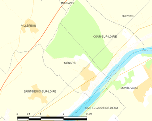
Menars
- commune in Loir-et-Cher, France
- Country:

- Postal Code: 41500
- Coordinates: 47° 38' 33" N, 1° 24' 31" E


- GPS tracks (wikiloc): [Link]
- Area: 4.5 sq km
- Population: 633


Maves
- commune in Loir-et-Cher, France
- Country:

- Postal Code: 41500
- Coordinates: 47° 44' 32" N, 1° 21' 52" E


- GPS tracks (wikiloc): [Link]
- Area: 33.33 sq km
- Population: 662
- Web site: [Link]