canton of Nozeroy (canton de Nozeroy)
- former canton of France (until March 2015)
Canton de Nozeroy, located in the Jura department in eastern France, is a beautiful region known for its stunning landscapes, rich natural heritage, and charming villages. It's a fantastic destination for hiking enthusiasts, offering a variety of trails that cater to different skill levels. Here are some highlights:
Natural Landscapes
- Scenic Views: The area features rolling hills, dense forests, and picturesque valleys. The Jura Mountains provide a dramatic backdrop and are a treat for hikers who enjoy panoramic views.
- Lakes and Rivers: You can explore trails around the many lakes and rivers in the region, like Lac de Chalain or the rivière de la Vèze, which are perfect for rest stops or picnics.
Hiking Trails
- Variety of Difficulty Levels: Trails vary from easy walks suitable for families to more challenging paths that require a good level of fitness. Popular routes include both marked paths and less-traveled options.
- The GR5 Trail: Part of the long-distance Grande Randonnée network, the GR5 passes through this region and offers an opportunity to experience the natural beauty of the Jura region over longer stretches.
Flora and Fauna
- Diverse Ecosystems: Hikers can enjoy the rich biodiversity, including various tree species, wildflowers, and wildlife. Keep an eye out for birds and deer along the trails.
Cultural Heritage
- Historical Sites: While hiking, you'll have the chance to encounter charming villages and historic sites, including ancient churches and traditional Jura farms.
Tips for Hiking in Canton de Nozeroy
- Check the Weather: The Jura region can experience variable weather, so dress in layers and be prepared for sudden changes.
- Trail Maps: Carry a map or download an app with offline maps, as some areas may have limited mobile service.
- Stay Safe: Always let someone know your hiking plans, and consider hiking with a buddy.
- Respect Nature: Follow Leave No Trace principles to preserve the natural beauty of the area.
Whether you're looking for a leisurely stroll or a more vigorous hike, Canton de Nozeroy offers a charming experience surrounded by nature and local culture. Enjoy your hiking adventure!
- Country:

- Capital: Nozeroy
- Coordinates: 46° 46' 35" N, 6° 3' 10" E


- GPS tracks (wikiloc): [Link]
- Wikidata storage: Wikidata: Q919410
- INSEE canton code: [3920]
Includes regions:


Doye
- commune in Jura, France
Doye is not widely recognized as a specific hiking destination in popular resources or hiking guides. It's possible that you may be referring to a lesser-known area or a local name for a specific region....
- Country:

- Postal Code: 39250
- Coordinates: 46° 46' 0" N, 6° 0' 59" E


- GPS tracks (wikiloc): [Link]
- Area: 3.56 sq km
- Population: 105


Esserval-Tartre
- commune in Jura, France
Esserval-Tartre is a small village located in the Jura region of France, known for its stunning natural landscapes, forested areas, and charming countryside. Hiking in this area can be a rewarding experience for those who appreciate nature, serenity, and French rural culture....
- Country:

- Postal Code: 39250
- Coordinates: 46° 48' 31" N, 6° 2' 43" E


- GPS tracks (wikiloc): [Link]
- Area: 12.19 sq km
- Population: 115

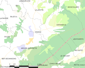
Fraroz
- commune in Jura, France
Fraroz appears to be a lesser-known destination, and information on hiking specifically in that area may not be widely available. However, if you're looking for hiking guidance or recommendations for a specific region, here’s a general approach you can take:...
- Country:

- Postal Code: 39250
- Coordinates: 46° 44' 2" N, 6° 5' 29" E


- GPS tracks (wikiloc): [Link]
- Area: 6.22 sq km
- Population: 48


Esserval-Combe
- former commune in Jura, France
Esserval-Combe is a picturesque commune located in the Jura region of France, known for its stunning natural landscapes and rich biodiversity. Hiking in this area offers a unique opportunity to explore lush forests, rolling hills, and scenic views of the Jura Mountains. Here are some highlights for hiking in Esserval-Combe:...
- Country:

- Postal Code: 39250
- Coordinates: 46° 48' 4" N, 6° 2' 24" E


- GPS tracks (wikiloc): [Link]
- AboveSeaLevel: 734 м m
- Area: 1.76 sq km
- Population: 22


Gillois
- commune in Jura, France
Gillois is a small town located in the Isère department of the Auvergne-Rhône-Alpes region in southeastern France. While it might not be as widely known as some of the larger hiking destinations, it offers beautiful natural scenery and plenty of opportunities for outdoor adventure, especially for those who enjoy hiking in more tranquil and less crowded environments....
- Country:

- Postal Code: 39250
- Coordinates: 46° 44' 4" N, 6° 1' 7" E


- GPS tracks (wikiloc): [Link]
- Area: 9.65 sq km
- Population: 126


Longcochon
- commune in Jura, France
Longcochon, situated in the Jura Mountains of France, is a wonderful destination for hiking enthusiasts. It offers stunning natural landscapes, lush forests, and a variety of trails that cater to different skill levels. Here are some key points to consider when hiking in Longcochon:...
- Country:

- Postal Code: 39250
- Coordinates: 46° 46' 27" N, 6° 4' 12" E


- GPS tracks (wikiloc): [Link]
- Area: 3.64 sq km
- Population: 58

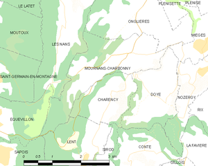
Mournans-Charbonny
- commune in Jura, France
Mournans-Charbonny is a picturesque commune located in the Jura region of France, which is known for its stunning landscapes, rolling hills, and rich flora and fauna. The area is an excellent choice for hiking enthusiasts, offering a range of trails that cater to various skill levels....
- Country:

- Postal Code: 39250
- Coordinates: 46° 46' 48" N, 6° 0' 15" E


- GPS tracks (wikiloc): [Link]
- AboveSeaLevel: 780 м m
- Area: 5.06 sq km
- Population: 96


Cuvier
- commune in Jura, France
Cuvier, located in the Jura region of France, offers stunning landscapes and diverse hiking trails suitable for various skill levels. The Jura mountains are known for their picturesque scenery, including rolling hills, forests, lakes, and unique geological formations, making it a fantastic destination for outdoor enthusiasts....
- Country:

- Postal Code: 39250
- Coordinates: 46° 49' 37" N, 6° 4' 7" E


- GPS tracks (wikiloc): [Link]
- Area: 10.32 sq km
- Population: 253


Molpré
- former commune in Jura, France
Molpré is a small village located in the Jura mountains of France, known for its picturesque landscapes, lush forests, and tranquil hiking trails. While specific information about trails and conditions in Molpré might not be well-documented, the surrounding Jura region offers a wealth of opportunities for hikers of all skill levels....
- Country:

- Postal Code: 39250
- Coordinates: 46° 47' 15" N, 6° 4' 3" E


- GPS tracks (wikiloc): [Link]
- AboveSeaLevel: 787 м m
- Area: 2.73 sq km
- Population: 24


Mignovillard
- former commune in Jura, France
Mignovillard, located in the Jura department of France, is a charming destination for hiking enthusiasts. Nestled in the foothills of the Jura Mountains, it offers a variety of trails that cater to different skill levels, from leisurely walks to more challenging hikes....
- Country:

- Postal Code: 39250
- Coordinates: 46° 47' 29" N, 6° 7' 33" E


- GPS tracks (wikiloc): [Link]
- Area: 49.81 sq km
- Population: 743
- Web site: [Link]
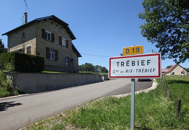
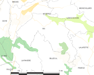
Rix
- commune in Jura, France
Hiking in Rix, located in the Jura region of Switzerland, offers a wonderful blend of breathtaking landscapes, diverse trails, and rich natural beauty. The Jura mountains are known for their rolling hills, deep forests, and panoramic viewpoints, making them ideal for outdoor enthusiasts....
- Country:

- Postal Code: 39250
- Coordinates: 46° 46' 9" N, 6° 2' 51" E


- GPS tracks (wikiloc): [Link]
- Area: 5.17 sq km
- Population: 73


Bief-du-Fourg
- commune in Jura, France
Bief-du-Fourg is a picturesque area located in the Doubs region of France, known for its stunning natural landscapes and outdoor recreational opportunities, including hiking. Here are some insights and tips for hiking in Bief-du-Fourg:...
- Country:

- Postal Code: 39250
- Coordinates: 46° 48' 34" N, 6° 6' 34" E


- GPS tracks (wikiloc): [Link]
- Area: 10.2 sq km
- Population: 189
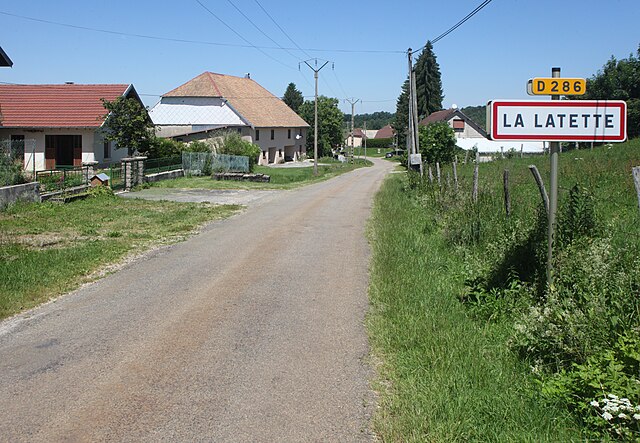

La Latette
- commune in Jura, France
La Latette, located in the Pyrenees mountains of France, offers a variety of hiking opportunities that cater to different skill levels and preferences. This region is characterized by stunning landscapes, diverse flora and fauna, and a range of trails that provide breathtaking views....
- Country:

- Postal Code: 39250
- Coordinates: 46° 45' 8" N, 6° 5' 25" E


- GPS tracks (wikiloc): [Link]
- Area: 5.89 sq km
- Population: 68


Communailles-en-Montagne
- former commune in Jura, France
 Hiking in Communailles-en-Montagne
Communailles-en-Montagne, located in the picturesque Jura region of eastern France, offers a range of hiking opportunities for outdoor enthusiasts. The area is characterized by its stunning landscapes, dense forests, rolling hills, and scenic viewpoints, making it an excellent destination for hikers of all skill levels....
- Country:

- Postal Code: 39250
- Coordinates: 46° 47' 57" N, 6° 5' 53" E


- GPS tracks (wikiloc): [Link]
- Area: 4.01 sq km
- Population: 51


Arsure-Arsurette
- commune in Jura, France
Arsure-Arsurette is a beautiful region located in the Pyrenees, specifically in the department of Pyrénées-Atlantiques in France. This area is known for its stunning landscapes, impressive peaks, and diverse flora and fauna, making it a great destination for hiking enthusiasts. Here are some key points to consider for hiking in Arsure-Arsurette:...
- Country:

- Postal Code: 39250
- Coordinates: 46° 43' 21" N, 6° 4' 57" E


- GPS tracks (wikiloc): [Link]
- Area: 12.56 sq km
- Population: 99


Conte
- commune in Jura, France
Conte, located in the Jura region of France, is a picturesque destination for hiking enthusiasts. The Jura Mountains, characterized by their rolling hills, dense forests, and beautiful lakes, offer a variety of hiking trails suitable for different skill levels....
- Country:

- Postal Code: 39300
- Coordinates: 46° 44' 54" N, 6° 0' 3" E


- GPS tracks (wikiloc): [Link]
- Area: 3.32 sq km
- Population: 61


Censeau
- commune in Jura, France
Censeau is a lesser-known area in France that may not be widely recognized in hiking circles, but it likely offers beautiful landscapes and trails typical of the surrounding regions. Since specific information about Censeau may vary, here's some general advice and things to consider if you're planning a hiking trip there:...
- Country:

- Postal Code: 39250
- Coordinates: 46° 48' 49" N, 6° 4' 5" E


- GPS tracks (wikiloc): [Link]
- Area: 9.86 sq km
- Population: 299


Cerniébaud
- commune in Jura, France
Cerniébaud is a picturesque village located in the Jura Mountains of France, known for its stunning natural landscapes and outdoor recreational opportunities. Hiking in this area offers a wonderful mix of lush forests, rolling hills, and beautiful views of the Jura range. Here are some key points and trails to consider when hiking in Cerniébaud:...
- Country:

- Postal Code: 39250
- Coordinates: 46° 43' 57" N, 6° 6' 14" E


- GPS tracks (wikiloc): [Link]
- Area: 10.53 sq km
- Population: 85
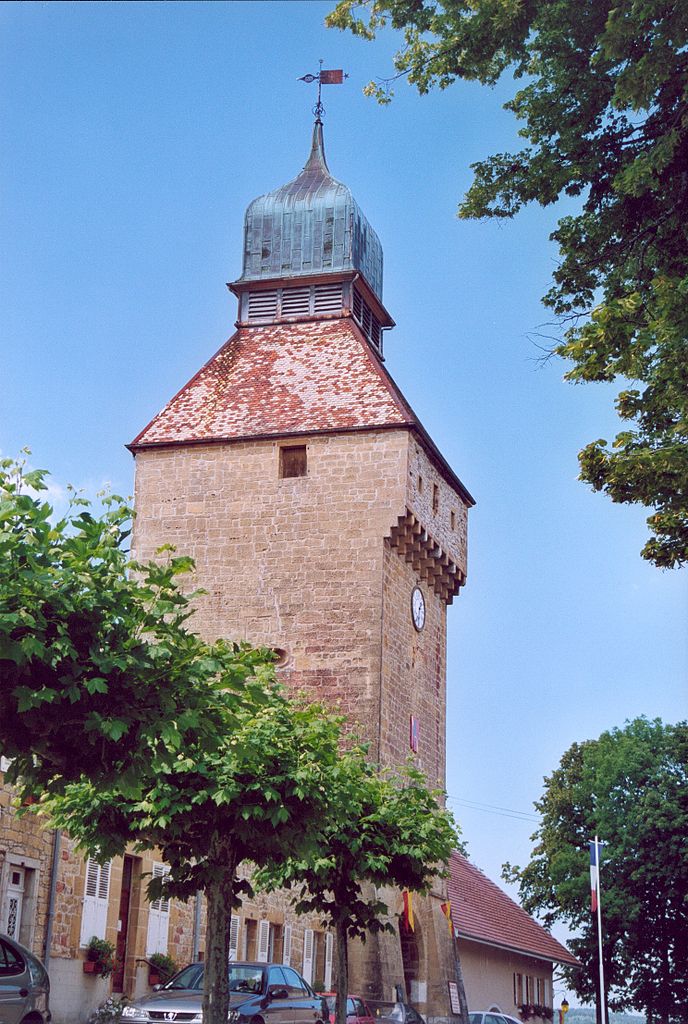

Nozeroy
- commune in Jura, France
Nozeroy is a charming village in the Jura region of France, known for its picturesque landscapes and rich natural surroundings, making it an excellent destination for hiking enthusiasts. The Jura mountains offer a variety of hiking trails that cater to different skill levels, from easy walks to more challenging routes....
- Country:

- Postal Code: 39250
- Coordinates: 46° 46' 28" N, 6° 2' 12" E


- GPS tracks (wikiloc): [Link]
- Area: 3.74 sq km
- Population: 437


Charency
- commune in Jura, France
Charency is a small municipality in France, known for its scenic beauty and outdoor activities. While specific information about hiking routes can vary, here's a general overview of what you might expect when hiking in and around Charency....
- Country:

- Postal Code: 39250
- Coordinates: 46° 46' 13" N, 5° 59' 38" E


- GPS tracks (wikiloc): [Link]
- Area: 2.73 sq km
- Population: 57


Billecul
- commune in Jura, France
Billecul is a small scenic area that often gets overshadowed by larger hiking destinations, but it still provides some charming trails and natural beauty worth exploring. Although specific details about Billecul may be limited, I can provide general advice on hiking in similar areas....
- Country:

- Postal Code: 39250
- Coordinates: 46° 45' 20" N, 6° 3' 3" E


- GPS tracks (wikiloc): [Link]
- Area: 4.41 sq km
- Population: 42


La Favière
- commune in Jura, France
La Favière is a charming area located near the coastal town of Bormes-les-Mimosas in the Var department of the Provence-Alpes-Côte d'Azur region in France. Known for its beautiful Mediterranean coastline, picturesque landscapes, and vibrant flora, hiking in La Favière offers a unique mix of coastal views and lush greenery....
- Country:

- Postal Code: 39250
- Coordinates: 46° 45' 10" N, 6° 1' 59" E


- GPS tracks (wikiloc): [Link]
- AboveSeaLevel: 830 м m
- Area: 2.78 sq km
- Population: 23


Plénisette
- commune in Jura, France
Plénisette is a charming location situated in the French Alps, known for its stunning landscapes and a variety of hiking opportunities. While it might not be as widely recognized as some higher-profile hiking destinations, it offers beautiful trails suitable for both novice and experienced hikers. Here are some key points to consider when hiking in and around Plénisette:...
- Country:

- Postal Code: 39250
- Coordinates: 46° 47' 58" N, 6° 1' 16" E


- GPS tracks (wikiloc): [Link]
- Area: 2.61 sq km
- Population: 24


Onglières
- commune in Jura, France
Onglières is a picturesque area in France known for its scenic landscapes and hiking opportunities. While it might be less known than some larger national parks or tourist destinations, it offers a unique experience for hiking enthusiasts....
- Country:

- Postal Code: 39250
- Coordinates: 46° 47' 43" N, 6° 0' 39" E


- GPS tracks (wikiloc): [Link]
- Area: 8.99 sq km
- Population: 67


Mièges
- former commune in Jura, France
Mièges is a charming village located in the Jura department of France, surrounded by beautiful natural landscapes that are perfect for hiking enthusiasts. The area features rolling hills, dense forests, and panoramic views, making it a great destination for outdoor activities....
- Country:

- Postal Code: 39250
- Coordinates: 46° 46' 57" N, 6° 2' 13" E


- GPS tracks (wikiloc): [Link]
- Area: 3.19 sq km
- Population: 99

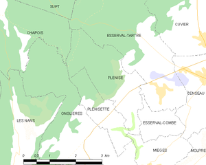
Plénise
- commune in Jura, France
Plénise, a picturesque region, offers a variety of hiking opportunities for outdoor enthusiasts. While specific trails and information might vary, here's a general guide to hiking in this charming area:...
- Country:

- Postal Code: 39250
- Coordinates: 46° 48' 23" N, 6° 1' 46" E


- GPS tracks (wikiloc): [Link]
- Area: 5.43 sq km
- Population: 62