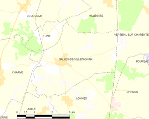
Villegats (Villegats)

- commune in Charente, France
- Country:

- Postal Code: 16700
- Coordinates: 45° 59' 29" N, 0° 11' 34" E


- GPS tracks (wikiloc): [Link]
- Area: 7.71 sq km
- Population: 219
- Wikipedia en: wiki(en)
- Wikipedia: wiki(fr)
- Wikidata storage: Wikidata: Q1631465
- Wikipedia Commons Category: [Link]
- Freebase ID: [/m/03mcfcl]
- GeoNames ID: Alt: [6427896]
- SIREN number: [211604103]
- BnF ID: [15248847t]
- INSEE municipality code: 16410
Shares border with regions:

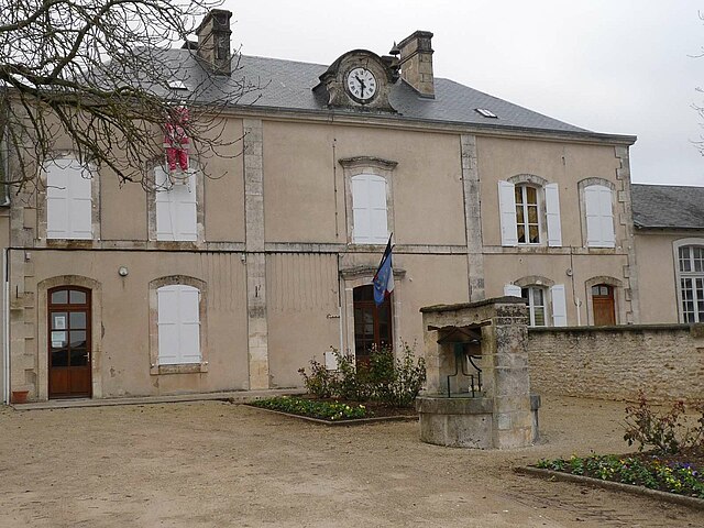
La Faye
- commune in Charente, France
- Country:
- Postal Code: 16700
- Coordinates: 46° 1' 13" N, 0° 8' 48" E
- GPS tracks (wikiloc): [Link]
- Area: 13.44 sq km
- Population: 636
- Web site: [Link]
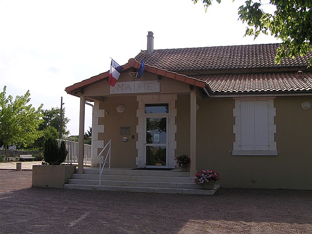
Salles-de-Villefagnan
- commune in Charente, France
- Country:
- Postal Code: 16700
- Coordinates: 45° 57' 32" N, 0° 9' 43" E
- GPS tracks (wikiloc): [Link]
- Area: 12.83 sq km
- Population: 334


Courcôme
- former commune in Charente, France
- Country:
- Postal Code: 16240
- Coordinates: 45° 59' 8" N, 0° 7' 54" E
- GPS tracks (wikiloc): [Link]
- Area: 19.44 sq km
- Population: 418


Barro
- commune in Charente, France
- Country:
- Postal Code: 16700
- Coordinates: 46° 0' 2" N, 0° 13' 36" E
- GPS tracks (wikiloc): [Link]
- AboveSeaLevel: 85 м m
- Area: 10.65 sq km
- Population: 408
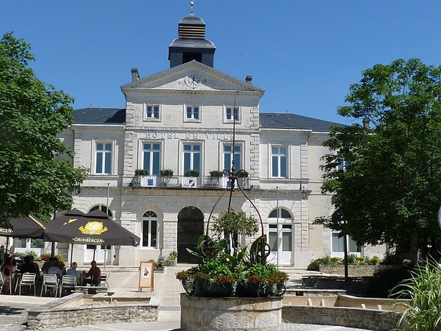
Ruffec
- commune in Charente, France
- Country:
- Postal Code: 16700
- Coordinates: 46° 1' 43" N, 0° 11' 57" E
- GPS tracks (wikiloc): [Link]
- Area: 13.37 sq km
- Population: 3477
- Web site: [Link]


Tuzie
- commune in Charente, France
- Country:
- Postal Code: 16700
- Coordinates: 45° 58' 32" N, 0° 9' 27" E
- GPS tracks (wikiloc): [Link]
- Area: 2.43 sq km
- Population: 182


Verteuil-sur-Charente
- commune in Charente, France
- Country:
- Postal Code: 16510
- Coordinates: 45° 58' 55" N, 0° 13' 47" E
- GPS tracks (wikiloc): [Link]
- Area: 14.24 sq km
- Population: 643
- Web site: [Link]