canton of Saint-Flour-Nord (canton de Saint-Flour-Nord)
- canton of France (until March 2015)
- Country:

- Capital: Saint-Flour
- Coordinates: 45° 2' 4" N, 3° 5' 37" E


- GPS tracks (wikiloc): [Link]
- Wikidata storage: Wikidata: Q248588
- INSEE canton code: [1519]
Includes regions:


Coren
- commune in Cantal, France
- Country:

- Postal Code: 15100
- Coordinates: 45° 4' 38" N, 3° 6' 27" E


- GPS tracks (wikiloc): [Link]
- Area: 16.86 sq km
- Population: 419

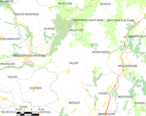
Talizat
- commune in Cantal, France
- Country:

- Postal Code: 15170
- Coordinates: 45° 6' 51" N, 3° 2' 49" E


- GPS tracks (wikiloc): [Link]
- Area: 37.62 sq km
- Population: 583
- Web site: [Link]


Vabres
- commune in Cantal, France
- Country:

- Postal Code: 15100
- Coordinates: 45° 2' 6" N, 3° 12' 25" E


- GPS tracks (wikiloc): [Link]
- AboveSeaLevel: 934 м m
- Area: 18.83 sq km
- Population: 244


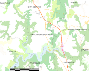
Anglards-de-Saint-Flour
- commune in Cantal, France
- Country:

- Postal Code: 15100
- Coordinates: 44° 58' 52" N, 3° 9' 13" E


- GPS tracks (wikiloc): [Link]
- Area: 12.28 sq km
- Population: 345


Rézentières
- commune in Cantal, France
- Country:

- Postal Code: 15170
- Coordinates: 45° 8' 3" N, 3° 6' 12" E


- GPS tracks (wikiloc): [Link]
- Area: 13.29 sq km
- Population: 113
Montchamp
- commune in Cantal, France
- Country:

- Postal Code: 15100
- Coordinates: 45° 4' 14" N, 3° 12' 9" E


- GPS tracks (wikiloc): [Link]
- Area: 15.9 sq km
- Population: 135


Coltines
- commune in Cantal, France
- Country:

- Postal Code: 15170
- Coordinates: 45° 5' 36" N, 2° 59' 16" E


- GPS tracks (wikiloc): [Link]
- Area: 19.02 sq km
- Population: 457


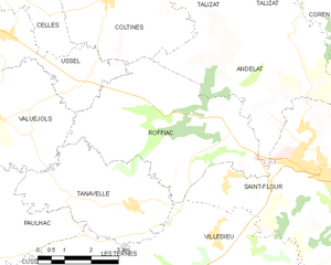
Roffiac
- commune in Cantal, France
- Country:

- Postal Code: 15100
- Coordinates: 45° 3' 9" N, 3° 2' 17" E


- GPS tracks (wikiloc): [Link]
- Area: 21.26 sq km
- Population: 610


Andelat
- commune in Cantal, France
- Country:

- Postal Code: 15100
- Coordinates: 45° 3' 38" N, 3° 3' 41" E


- GPS tracks (wikiloc): [Link]
- Area: 21.05 sq km
- Population: 463
Lastic
- commune in Cantal, France
- Country:

- Postal Code: 15500
- Coordinates: 45° 6' 46" N, 3° 12' 36" E


- GPS tracks (wikiloc): [Link]
- AboveSeaLevel: 1140 м m
- Area: 10.47 sq km
- Population: 124
- Web site: [Link]


Mentières
- commune in Cantal, France
- Country:

- Postal Code: 15100
- Coordinates: 45° 4' 11" N, 3° 8' 18" E


- GPS tracks (wikiloc): [Link]
- Area: 13.17 sq km
- Population: 122


Saint-Georges
- commune in Cantal, France
- Country:

- Postal Code: 15100
- Coordinates: 45° 1' 7" N, 3° 7' 39" E


- GPS tracks (wikiloc): [Link]
- Area: 33.14 sq km
- Population: 1158
- Web site: [Link]
Tiviers
- commune in Cantal, France
- Country:

- Postal Code: 15100
- Coordinates: 45° 3' 40" N, 3° 9' 31" E


- GPS tracks (wikiloc): [Link]
- Area: 13.53 sq km
- Population: 168


Vieillespesse
- commune in Cantal, France
- Country:

- Postal Code: 15500
- Coordinates: 45° 7' 37" N, 3° 9' 8" E


- GPS tracks (wikiloc): [Link]
- Area: 24.91 sq km
- Population: 266
- Web site: [Link]