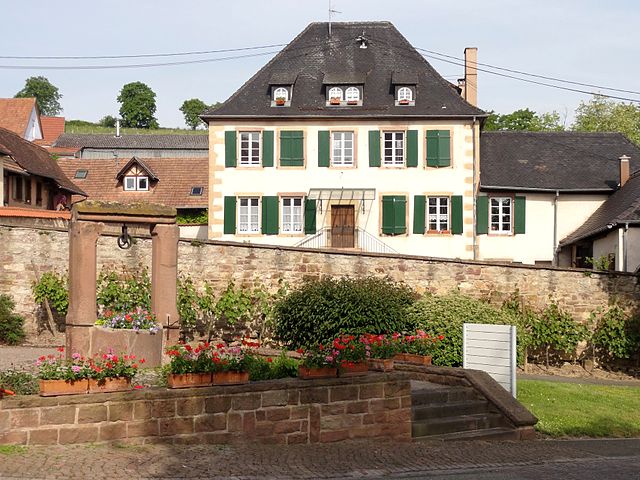
Kirchheim (Kirchheim)

- commune in Bas-Rhin, France
- Country:

- Postal Code: 67520
- Coordinates: 48° 36' 34" N, 7° 29' 45" E


- GPS tracks (wikiloc): [Link]
- Area: 2.3 sq km
- Population: 685
- Wikipedia en: wiki(en)
- Wikipedia: wiki(fr)
- Wikidata storage: Wikidata: Q21282
- Wikipedia Commons Category: [Link]
- Freebase ID: [/m/03m98tv]
- Freebase ID: [/m/03m98tv]
- GeoNames ID: Alt: [6441180]
- GeoNames ID: Alt: [6441180]
- SIREN number: [216702407]
- SIREN number: [216702407]
- BnF ID: [15271382w]
- BnF ID: [15271382w]
- VIAF ID: Alt: [192568498]
- VIAF ID: Alt: [192568498]
- INSEE municipality code: 67240
- INSEE municipality code: 67240
Shares border with regions:

Dahlenheim
- commune in Bas-Rhin, France
- Country:
- Postal Code: 67310
- Coordinates: 48° 35' 8" N, 7° 30' 26" E
- GPS tracks (wikiloc): [Link]
- Area: 5.35 sq km
- Population: 763


Odratzheim
- commune in Bas-Rhin, France
- Country:
- Postal Code: 67520
- Coordinates: 48° 36' 2" N, 7° 29' 19" E
- GPS tracks (wikiloc): [Link]
- Area: 1.54 sq km
- Population: 484

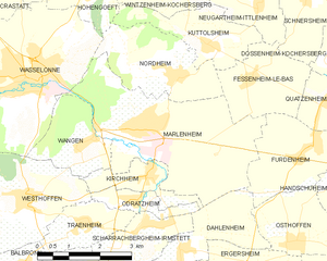
Marlenheim
- commune in Bas-Rhin, France
- Country:
- Postal Code: 67520
- Coordinates: 48° 37' 22" N, 7° 29' 35" E
- GPS tracks (wikiloc): [Link]
- Area: 14.59 sq km
- Population: 4217
- Web site: [Link]

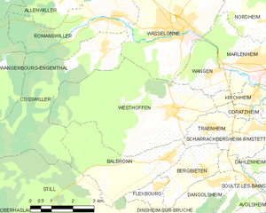
Westhoffen
- commune in Bas-Rhin, France
- Country:
- Postal Code: 67310
- Coordinates: 48° 36' 10" N, 7° 26' 28" E
- GPS tracks (wikiloc): [Link]
- Area: 20.65 sq km
- Population: 1676


Wangen
- commune in Bas-Rhin, France
- Country:
- Postal Code: 67520
- Coordinates: 48° 37' 3" N, 7° 27' 59" E
- GPS tracks (wikiloc): [Link]
- Area: 3.87 sq km
- Population: 712
- Web site: [Link]