canton of Argent-sur-Sauldre (canton d'Argent-sur-Sauldre)
- canton of France
- Country:

- Capital: Argent-sur-Sauldre
- Coordinates: 47° 33' 27" N, 2° 26' 37" E


- GPS tracks (wikiloc): [Link]
- Wikipedia en: wiki(en)
- Wikipedia: wiki(fr)
- Wikidata storage: Wikidata: Q1724210
- Freebase ID: [/m/05sy34x]
- INSEE canton code: [1802]
Includes regions:


Brinon-sur-Sauldre
- commune in Cher, France
- Country:
- Postal Code: 18410
- Coordinates: 47° 33' 53" N, 2° 15' 18" E
- GPS tracks (wikiloc): [Link]
- Area: 116.3 sq km
- Population: 1004

Clémont
- commune in Cher, France
- Country:
- Postal Code: 18410
- Coordinates: 47° 34' 5" N, 2° 18' 26" E
- GPS tracks (wikiloc): [Link]
- Area: 50.11 sq km
- Population: 724


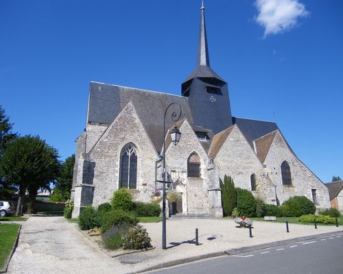
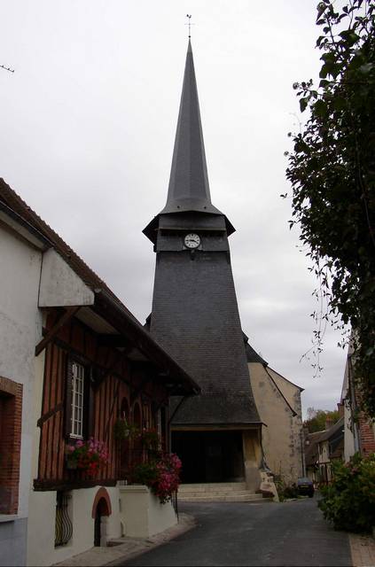
Argent-sur-Sauldre
- commune in Cher, France
- Country:
- Postal Code: 18410
- Coordinates: 47° 33' 24" N, 2° 26' 35" E
- GPS tracks (wikiloc): [Link]
- Area: 67.35 sq km
- Population: 2142
- Web site: [Link]

Blancafort
- commune in Cher, France
- Country:
- Postal Code: 18410
- Coordinates: 47° 31' 57" N, 2° 31' 50" E
- GPS tracks (wikiloc): [Link]
- Area: 64.35 sq km
- Population: 1064