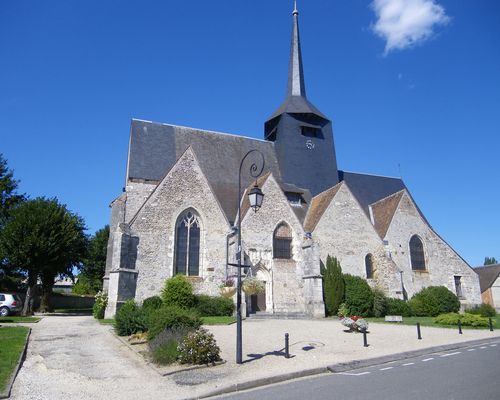
Brinon-sur-Sauldre (Brinon-sur-Sauldre)

- commune in Cher, France
- Country:

- Postal Code: 18410
- Coordinates: 47° 33' 53" N, 2° 15' 18" E


- GPS tracks (wikiloc): [Link]
- Area: 116.3 sq km
- Population: 1004
- Wikipedia en: wiki(en)
- Wikipedia: wiki(fr)
- Wikidata storage: Wikidata: Q1139908
- Wikipedia Commons Category: [Link]
- Freebase ID: [/m/03mfc8s]
- GeoNames ID: Alt: [3030024]
- SIREN number: [211800370]
- BnF ID: [15249383j]
- VIAF ID: Alt: [246678025]
- Library of Congress authority ID: Alt: [no2017084441]
- PACTOLS thesaurus ID: [pcrtTTS5pJX7n0]
- INSEE municipality code: 18037
Shares border with regions:

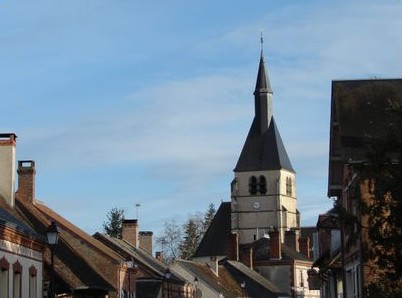
Clémont
- commune in Cher, France
- Country:
- Postal Code: 18410
- Coordinates: 47° 34' 5" N, 2° 18' 26" E
- GPS tracks (wikiloc): [Link]
- Area: 50.11 sq km
- Population: 724

Pierrefitte-sur-Sauldre
- commune in Loir-et-Cher, France
- Country:
- Postal Code: 41300
- Coordinates: 47° 30' 46" N, 2° 9' 3" E
- GPS tracks (wikiloc): [Link]
- Area: 74.96 sq km
- Population: 806
- Web site: [Link]


Sainte-Montaine
- commune in Cher, France
- Country:
- Postal Code: 18700
- Coordinates: 47° 29' 25" N, 2° 19' 12" E
- GPS tracks (wikiloc): [Link]
- Area: 53.79 sq km
- Population: 186


Isdes
- commune in Loiret, France
- Country:
- Postal Code: 45620
- Coordinates: 47° 40' 19" N, 2° 15' 20" E
- GPS tracks (wikiloc): [Link]
- Area: 43.89 sq km
- Population: 549
- Web site: [Link]


Cerdon
- commune in Loiret, France
- Country:
- Postal Code: 45620
- Coordinates: 47° 38' 9" N, 2° 21' 40" E
- GPS tracks (wikiloc): [Link]
- Area: 67.07 sq km
- Population: 967
- Web site: [Link]


Souesmes
- commune in Loir-et-Cher, France
- Country:
- Postal Code: 41300
- Coordinates: 47° 27' 31" N, 2° 10' 45" E
- GPS tracks (wikiloc): [Link]
- Area: 99.5 sq km
- Population: 1100
- Web site: [Link]


Chaon
- commune in Loir-et-Cher, France
- Country:
- Postal Code: 41600
- Coordinates: 47° 36' 31" N, 2° 10' 21" E
- GPS tracks (wikiloc): [Link]
- Area: 31.85 sq km
- Population: 467