canton of Blois-2 (canton de Blois-2)

- canton of France
- Country:

- Capital: Blois
- Coordinates: 47° 33' 25" N, 1° 20' 45" E


- GPS tracks (wikiloc): [Link]
- Population: 22882
- Wikipedia en: wiki(en)
- Wikipedia: wiki(fr)
- Wikidata storage: Wikidata: Q921199
- INSEE canton code: [4103]
Includes regions:


Cellettes
- commune in Loir-et-Cher, France
- Country:
- Postal Code: 41120
- Coordinates: 47° 31' 41" N, 1° 22' 50" E
- GPS tracks (wikiloc): [Link]
- Area: 20.96 sq km
- Population: 2564


Saint-Gervais-la-Forêt
- commune in Loir-et-Cher, France
- Country:
- Postal Code: 41350
- Coordinates: 47° 34' 8" N, 1° 21' 36" E
- GPS tracks (wikiloc): [Link]
- Area: 8.97 sq km
- Population: 3224
- Web site: [Link]

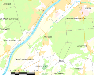
Chailles
- commune in Loir-et-Cher, France
- Country:
- Postal Code: 41120
- Coordinates: 47° 32' 30" N, 1° 18' 37" E
- GPS tracks (wikiloc): [Link]
- Area: 18.54 sq km
- Population: 2673