canton of Bouxwiller (canton de Bouxwiller)
- canton of France
- Country:

- Capital: Bouxwiller
- Coordinates: 48° 50' 45" N, 7° 30' 33" E


- GPS tracks (wikiloc): [Link]
- Area: 321.71 sq km
- Population: 48911
- Wikipedia en: wiki(en)
- Wikipedia: wiki(fr)
- Wikidata storage: Wikidata: Q1397686
- INSEE canton code: [6702]
Includes regions:


Bischholtz
- commune in Bas-Rhin, France
- Country:

- Postal Code: 67340
- Coordinates: 48° 53' 34" N, 7° 32' 25" E


- GPS tracks (wikiloc): [Link]
- Area: 2.39 sq km
- Population: 282


Dossenheim-sur-Zinsel
- commune in Bas-Rhin, France
- Country:

- Postal Code: 67330
- Coordinates: 48° 48' 17" N, 7° 24' 10" E


- GPS tracks (wikiloc): [Link]
- Area: 17.2 sq km
- Population: 1089


Buswiller
- commune in Bas-Rhin, France
- Country:

- Postal Code: 67350
- Coordinates: 48° 49' 11" N, 7° 33' 33" E


- GPS tracks (wikiloc): [Link]
- Area: 2.3 sq km
- Population: 264


Pfaffenhoffen
- former commune in Bas-Rhin, France
- Country:

- Postal Code: 67350
- Coordinates: 48° 50' 40" N, 7° 36' 39" E


- GPS tracks (wikiloc): [Link]
- Area: 3.54 sq km
- Population: 2723
- Web site: [Link]


Niedersoultzbach
- commune in Bas-Rhin, France
- Country:

- Postal Code: 67330
- Coordinates: 48° 50' 58" N, 7° 27' 58" E


- GPS tracks (wikiloc): [Link]
- Area: 4.19 sq km
- Population: 253

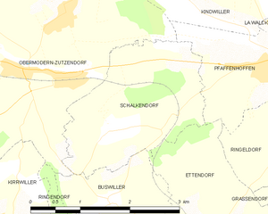
Schalkendorf
- commune in Bas-Rhin, France
- Country:

- Postal Code: 67350
- Coordinates: 48° 49' 57" N, 7° 33' 42" E


- GPS tracks (wikiloc): [Link]
- Area: 5.21 sq km
- Population: 331


Neuwiller-lès-Saverne
- commune in Bas-Rhin, France
- Country:

- Postal Code: 67330
- Coordinates: 48° 49' 23" N, 7° 24' 4" E


- GPS tracks (wikiloc): [Link]
- Area: 31.89 sq km
- Population: 1120
- Web site: [Link]


Niedermodern
- commune in Bas-Rhin, France
- Country:

- Postal Code: 67350
- Coordinates: 48° 50' 43" N, 7° 37' 34" E


- GPS tracks (wikiloc): [Link]
- AboveSeaLevel: 209.5 м m
- Area: 4.39 sq km
- Population: 917
- Web site: [Link]


Schillersdorf
- commune in Bas-Rhin, France
- Country:

- Postal Code: 67340
- Coordinates: 48° 52' 15" N, 7° 31' 29" E


- GPS tracks (wikiloc): [Link]
- Area: 7.53 sq km
- Population: 441


Obersoultzbach
- commune in Bas-Rhin, France
- Country:

- Postal Code: 67330
- Coordinates: 48° 51' 5" N, 7° 26' 58" E


- GPS tracks (wikiloc): [Link]
- Area: 5.16 sq km
- Population: 433

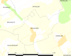
Mulhausen
- commune in Bas-Rhin, France
- Country:

- Postal Code: 67350
- Coordinates: 48° 52' 59" N, 7° 33' 12" E


- GPS tracks (wikiloc): [Link]
- Area: 4 sq km
- Population: 471
- Web site: [Link]
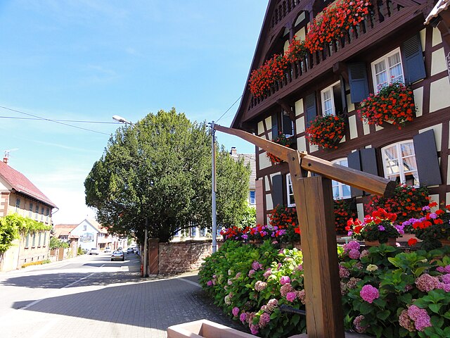
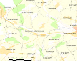
Obermodern-Zutzendorf
- commune in Bas-Rhin, France
- Country:

- Postal Code: 67330
- Coordinates: 48° 50' 41" N, 7° 32' 25" E


- GPS tracks (wikiloc): [Link]
- Area: 14.46 sq km
- Population: 1691
- Web site: [Link]
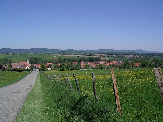
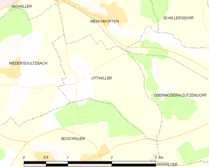
Uttwiller
- commune in Bas-Rhin, France
- Country:

- Postal Code: 67330
- Coordinates: 48° 50' 50" N, 7° 29' 19" E


- GPS tracks (wikiloc): [Link]
- Area: 2.99 sq km
- Population: 161


Weinbourg
- commune in Bas-Rhin, France
- Country:

- Postal Code: 67340
- Coordinates: 48° 52' 16" N, 7° 26' 26" E


- GPS tracks (wikiloc): [Link]
- Area: 5.29 sq km
- Population: 434

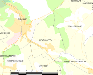
Menchhoffen
- commune in Bas-Rhin, France
- Country:

- Postal Code: 67340
- Coordinates: 48° 51' 34" N, 7° 29' 54" E


- GPS tracks (wikiloc): [Link]
- Area: 4.27 sq km
- Population: 592
- Web site: [Link]


Bosselshausen
- commune in Bas-Rhin, France
- Country:

- Postal Code: 67330
- Coordinates: 48° 48' 18" N, 7° 30' 36" E


- GPS tracks (wikiloc): [Link]
- Area: 3.29 sq km
- Population: 158
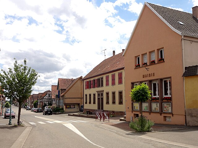

Kirrwiller
- commune in Bas-Rhin, France
- Country:

- Postal Code: 67330
- Coordinates: 48° 48' 50" N, 7° 31' 49" E


- GPS tracks (wikiloc): [Link]
- Area: 4.89 sq km
- Population: 565
