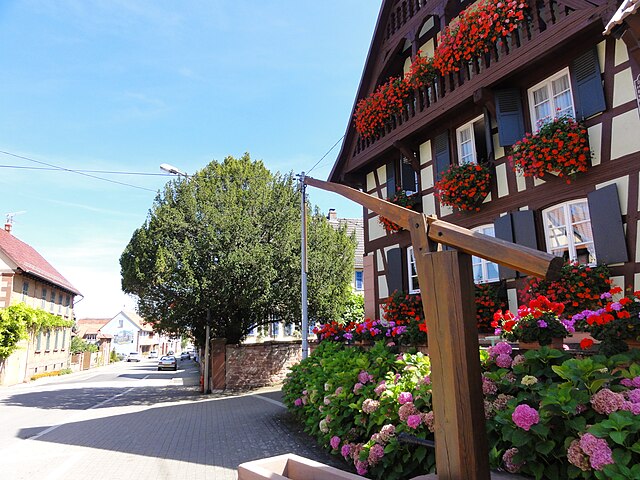
Menchhoffen (Menchhoffen)

- commune in Bas-Rhin, France
- Country:

- Postal Code: 67340
- Coordinates: 48° 51' 34" N, 7° 29' 54" E


- GPS tracks (wikiloc): [Link]
- Area: 4.27 sq km
- Population: 592
- Web site: http://www.cc.pays-de-hanau.com/fr/menchhoffen/menchhoffen.html
- Wikipedia en: wiki(en)
- Wikipedia: wiki(fr)
- Wikidata storage: Wikidata: Q22514
- Wikipedia Commons Category: [Link]
- Freebase ID: [/m/03m99f2]
- Freebase ID: [/m/03m99f2]
- GeoNames ID: Alt: [6441220]
- GeoNames ID: Alt: [6441220]
- SIREN number: [216702894]
- SIREN number: [216702894]
- BnF ID: [152714318]
- BnF ID: [152714318]
- VIAF ID: Alt: [247393000]
- VIAF ID: Alt: [247393000]
- INSEE municipality code: 67289
- INSEE municipality code: 67289
Shares border with regions:


Niedersoultzbach
- commune in Bas-Rhin, France
- Country:
- Postal Code: 67330
- Coordinates: 48° 50' 58" N, 7° 27' 58" E
- GPS tracks (wikiloc): [Link]
- Area: 4.19 sq km
- Population: 253


Schillersdorf
- commune in Bas-Rhin, France
- Country:
- Postal Code: 67340
- Coordinates: 48° 52' 15" N, 7° 31' 29" E
- GPS tracks (wikiloc): [Link]
- Area: 7.53 sq km
- Population: 441
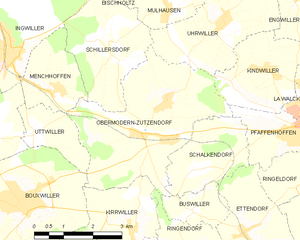
Obermodern-Zutzendorf
- commune in Bas-Rhin, France
- Country:
- Postal Code: 67330
- Coordinates: 48° 50' 41" N, 7° 32' 25" E
- GPS tracks (wikiloc): [Link]
- Area: 14.46 sq km
- Population: 1691
- Web site: [Link]
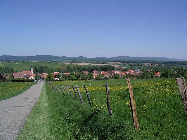
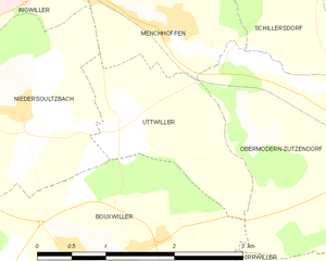
Uttwiller
- commune in Bas-Rhin, France
- Country:
- Postal Code: 67330
- Coordinates: 48° 50' 50" N, 7° 29' 19" E
- GPS tracks (wikiloc): [Link]
- Area: 2.99 sq km
- Population: 161


Ingwiller
- commune in Bas-Rhin, France
- Country:
- Postal Code: 67340
- Coordinates: 48° 52' 23" N, 7° 28' 37" E
- GPS tracks (wikiloc): [Link]
- Area: 18.05 sq km
- Population: 4106
- Web site: [Link]