canton of Brignoles (canton de Brignoles)
- canton of France
The Canton of Brignoles, located in the Var department of the Provence-Alpes-Côte d'Azur region in France, is known for its beautiful landscapes, rich history, and diverse hiking opportunities. Here are some key points about hiking in this area:
Scenic Trails
-
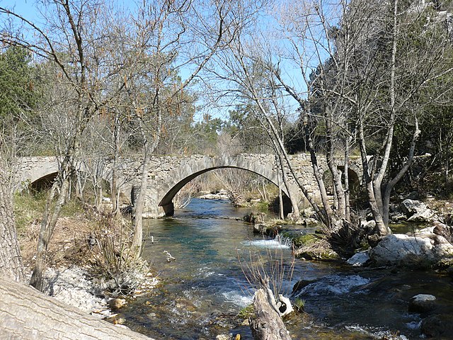
Var River Valley: Many hiking trails in the canton follow along the Var River, offering picturesque views of the river and surrounding countryside. The trails often pass through vineyards, olive groves, and Mediterranean forests.
-
Historic Sites: Hiking in Brignoles provides opportunities to explore historical sites, including ancient Roman ruins and medieval villages. You might encounter the impressive Château de Brignoles, which adds a cultural aspect to your hiking experience.
-
Natural Parks: Nearby natural parks, like the Parc Naturel Régional de La Sainte-Baume, offer a variety of trails that showcase the region's unique flora and fauna, limestone cliffs, and stunning vistas.
Trail Difficulty
The hiking trails cater to all levels of hikers, from beginners to experienced trekkers. Some trails are well-marked and easy, making them suitable for families, while others offer more challenging elevation changes and rugged terrain for those seeking a more adventurous experience.
Accessibility
- Trail Access: Many trails in the region start from popular towns such as Brignoles and can also connect to larger trail networks, making it easy to plan a day trip or a longer hike.
- Guided Tours: If you’re unfamiliar with the area or prefer guided experiences, local hiking organizations may offer guided tours, which can enhance your understanding of the local geology, flora, and history.
Best Time to Hike
The best times to hike in the Canton of Brignoles are spring and autumn when temperatures are milder, and the landscape is particularly vibrant. Summer can be hot, so early morning or late afternoon hikes are recommended to avoid the heat.
Preparation
- Gear: Wear sturdy hiking boots, carry plenty of water, and have suitable clothing for the weather.
- Maps: It’s advisable to have a map or GPS device, as not all trails may be well-marked.
- Safety: Inform someone of your hiking plans and expected return time, especially if you venture into more isolated areas.
Conclusion
Hiking in the Canton of Brignoles offers a mix of natural beauty, cultural heritage, and outdoor adventure. Whether you're looking for a leisurely stroll through charming villages or a challenging hike with breathtaking views, this region has something for everyone. Enjoy your adventure!
- Country:

- Capital: Brignoles
- Coordinates: 43° 24' 21" N, 6° 3' 42" E


- GPS tracks (wikiloc): [Link]
- Population: 40172
- Wikipedia en: wiki(en)
- Wikipedia: wiki(fr)
- Wikidata storage: Wikidata: Q1724611
- INSEE canton code: [8301]
Includes regions:


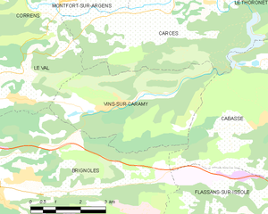
Vins-sur-Caramy
- commune in Var, France
Vins-sur-Caramy is a picturesque village located in the Var department of the Provence-Alpes-Côte d'Azur region in southeastern France. The area is characterized by its beautiful landscapes, including vineyards, rolling hills, and the lush countryside, making it an excellent destination for hiking enthusiasts....
- Country:

- Postal Code: 83170
- Coordinates: 43° 26' 3" N, 6° 8' 31" E


- GPS tracks (wikiloc): [Link]
- Area: 16.3 sq km
- Population: 1001


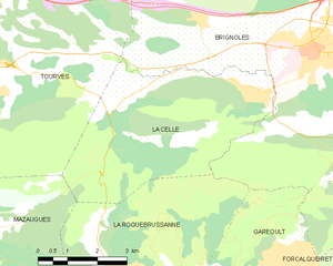
La Celle
- commune in Var, France
La Celle, a charming village nestled in the Var department of Provence-Alpes-Côte d'Azur, offers beautiful hiking opportunities amidst stunning natural scenery. The region is characterized by its picturesque landscapes, rolling hills, vineyards, and historical sites. Here are some highlights and tips for hiking in and around La Celle:...
- Country:

- Postal Code: 83170
- Coordinates: 43° 23' 39" N, 6° 2' 26" E


- GPS tracks (wikiloc): [Link]
- Area: 21 sq km
- Population: 1433


Brignoles
- commune in Var, France
Brignoles, located in the Var department in southeastern France, is surrounded by beautiful landscapes that offer excellent opportunities for hiking and outdoor activities. Here are some highlights and tips for hiking around Brignoles:...
- Country:

- Postal Code: 83170
- Coordinates: 43° 24' 21" N, 6° 3' 42" E


- GPS tracks (wikiloc): [Link]
- Area: 70.53 sq km
- Population: 17093
- Web site: [Link]

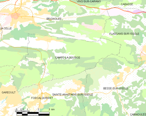
Camps-la-Source
- commune in Var, France
Camps-la-Source, located in the Var department of southern France, is a charming little commune nestled in the heart of the Provence-Alpes-Côte d'Azur region. The area surrounding Camps-la-Source offers a variety of outdoor activities, including hiking, with several scenic trails suitable for different skill levels....
- Country:

- Postal Code: 83170
- Coordinates: 43° 23' 11" N, 6° 5' 40" E


- GPS tracks (wikiloc): [Link]
- Area: 22.47 sq km
- Population: 1851
- Web site: [Link]


Tourves
- commune in Var, France
Tourves is a charming commune located in the Var department of the Provence-Alpes-Côte d'Azur region in southeastern France. It is surrounded by stunning landscapes, including rolling hills, vineyards, and picturesque countryside, making it an ideal spot for hiking enthusiasts....
- Country:

- Postal Code: 83170
- Coordinates: 43° 24' 29" N, 5° 55' 26" E


- GPS tracks (wikiloc): [Link]
- Area: 65.62 sq km
- Population: 4973


Le Val
- commune in Var, France
Le Val, located in the Var department of the Provence-Alpes-Côte d'Azur region in southeastern France, is a charming destination for hiking enthusiasts. The area is characterized by its stunning natural beauty, rolling hills, vineyards, and picturesque villages. Here are some highlights regarding hiking in Le Val and its surroundings:...
- Country:

- Postal Code: 83143
- Coordinates: 43° 26' 22" N, 6° 4' 23" E


- GPS tracks (wikiloc): [Link]
- Area: 39.34 sq km
- Population: 4275
- Web site: [Link]

