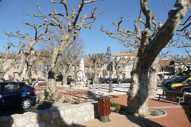
canton of Châteaurenard (canton de Châteaurenard)
- canton of France
- Country:

- Capital: Châteaurenard
- Coordinates: 43° 53' 0" N, 4° 51' 19" E


- GPS tracks (wikiloc): [Link]
- Population: 72517
- Wikipedia en: wiki(en)
- Wikipedia: wiki(fr)
- Wikidata storage: Wikidata: Q1724951
- INSEE canton code: [1307]
Includes regions:


Graveson
- commune in Bouches-du-Rhône, France
- Country:

- Postal Code: 13690
- Coordinates: 43° 51' 4" N, 4° 46' 24" E


- GPS tracks (wikiloc): [Link]
- Area: 23.54 sq km
- Population: 4838
- Web site: [Link]


Barbentane
- commune in Bouches-du-Rhône, France
- Country:

- Postal Code: 13570
- Coordinates: 43° 53' 58" N, 4° 44' 52" E


- GPS tracks (wikiloc): [Link]
- Area: 27.13 sq km
- Population: 4123
- Web site: [Link]


Eyragues
- commune in Bouches-du-Rhône, France
- Country:

- Postal Code: 13630
- Coordinates: 43° 50' 28" N, 4° 50' 28" E


- GPS tracks (wikiloc): [Link]
- Area: 20.78 sq km
- Population: 4354
- Web site: [Link]


Châteaurenard
- commune in Bouches-du-Rhône, France
- Country:

- Postal Code: 13160
- Coordinates: 43° 52' 57" N, 4° 51' 18" E


- GPS tracks (wikiloc): [Link]
- Area: 34.95 sq km
- Population: 15624
- Web site: [Link]


Noves
- commune in Bouches-du-Rhône, France
- Country:

- Postal Code: 13550
- Coordinates: 43° 52' 37" N, 4° 54' 5" E


- GPS tracks (wikiloc): [Link]
- Area: 27.92 sq km
- Population: 5761
- Web site: [Link]


Rognonas
- commune in Bouches-du-Rhône, France
- Country:

- Postal Code: 13870
- Coordinates: 43° 54' 3" N, 4° 48' 17" E


- GPS tracks (wikiloc): [Link]
- Area: 9.41 sq km
- Population: 4046
