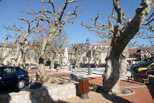
Châteaurenard (Châteaurenard)

- commune in Bouches-du-Rhône, France
- Country:

- Postal Code: 13160
- Coordinates: 43° 52' 57" N, 4° 51' 18" E


- GPS tracks (wikiloc): [Link]
- Area: 34.95 sq km
- Population: 15624
- Web site: http://www.chateaurenard.com
- Wikipedia en: wiki(en)
- Wikipedia: wiki(fr)
- Wikidata storage: Wikidata: Q474021
- Wikipedia Commons Category: [Link]
- Wikipedia Commons Maps Category: [Link]
- Freebase ID: [/m/08cxz8]
- GeoNames ID: Alt: [3026211]
- SIREN number: [211300272]
- BnF ID: [15247309n]
- VIAF ID: Alt: [312801156]
- GND ID: Alt: [4314668-5]
- Library of Congress authority ID: Alt: [n81036019]
- PACTOLS thesaurus ID: [pcrt4Kt1M2SuFM]
- INSEE municipality code: 13027
Shares border with regions:


Graveson
- commune in Bouches-du-Rhône, France
- Country:
- Postal Code: 13690
- Coordinates: 43° 51' 4" N, 4° 46' 24" E
- GPS tracks (wikiloc): [Link]
- Area: 23.54 sq km
- Population: 4838
- Web site: [Link]


Eyragues
- commune in Bouches-du-Rhône, France
- Country:
- Postal Code: 13630
- Coordinates: 43° 50' 28" N, 4° 50' 28" E
- GPS tracks (wikiloc): [Link]
- Area: 20.78 sq km
- Population: 4354
- Web site: [Link]

Noves
- commune in Bouches-du-Rhône, France
- Country:
- Postal Code: 13550
- Coordinates: 43° 52' 37" N, 4° 54' 5" E
- GPS tracks (wikiloc): [Link]
- Area: 27.92 sq km
- Population: 5761
- Web site: [Link]
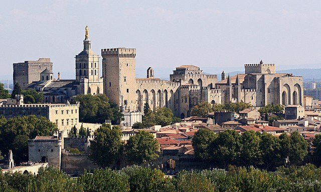

Avignon
- commune in Vaucluse, France
- Country:
- Postal Code: 84000
- Local Dialing Code: 49
- Coordinates: 43° 56' 55" N, 4° 48' 30" E
- GPS tracks (wikiloc): [Link]
- AboveSeaLevel: 122 м m
- Area: 64.91 sq km
- Population: 92130
- Web site: [Link]


Rognonas
- commune in Bouches-du-Rhône, France
- Country:
- Postal Code: 13870
- Coordinates: 43° 54' 3" N, 4° 48' 17" E
- GPS tracks (wikiloc): [Link]
- Area: 9.41 sq km
- Population: 4046