canton of Freyming-Merlebach (canton de Freyming-Merlebach)
- canton of France
- Country:

- Capital: Freyming-Merlebach
- Coordinates: 49° 6' 20" N, 6° 50' 20" E


- GPS tracks (wikiloc): [Link]
- Population: 32520
- Wikipedia en: wiki(en)
- Wikipedia: wiki(fr)
- Wikidata storage: Wikidata: Q1397807
- Library of Congress authority ID: Alt: [nr89014860]
- INSEE canton code: [5709]
Includes regions:


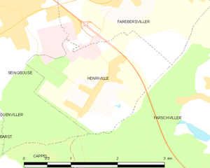
Henriville
- commune in Moselle, France
- Country:

- Postal Code: 57450
- Coordinates: 49° 5' 44" N, 6° 51' 13" E


- GPS tracks (wikiloc): [Link]
- Area: 3.95 sq km
- Population: 761


Cappel
- commune in Moselle, France
- Country:

- Postal Code: 57450
- Coordinates: 49° 4' 20" N, 6° 51' 0" E


- GPS tracks (wikiloc): [Link]
- Area: 5.97 sq km
- Population: 695


Béning-lès-Saint-Avold
- commune in Moselle, France
- Country:

- Postal Code: 57800
- Coordinates: 49° 7' 55" N, 6° 50' 21" E


- GPS tracks (wikiloc): [Link]
- Area: 3.69 sq km
- Population: 1147


Hoste
- commune in Moselle, France
- Country:

- Postal Code: 57510
- Coordinates: 49° 4' 8" N, 6° 53' 2" E


- GPS tracks (wikiloc): [Link]
- AboveSeaLevel: 200 м m
- Area: 9.47 sq km
- Population: 632


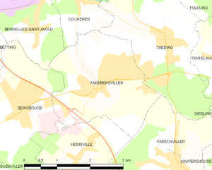
Farébersviller
- commune in Moselle, France
- Country:

- Postal Code: 57450
- Coordinates: 49° 6' 53" N, 6° 51' 49" E


- GPS tracks (wikiloc): [Link]
- Area: 6.88 sq km
- Population: 5531
- Web site: [Link]


Seingbouse
- commune in Moselle, France
- Country:

- Postal Code: 57455
- Coordinates: 49° 6' 48" N, 6° 49' 52" E


- GPS tracks (wikiloc): [Link]
- Area: 8.05 sq km
- Population: 1857
- Web site: [Link]


Guenviller
- commune in Moselle, France
- Country:

- Postal Code: 57470
- Coordinates: 49° 6' 25" N, 6° 47' 55" E


- GPS tracks (wikiloc): [Link]
- Area: 4.74 sq km
- Population: 655


Freyming-Merlebach
- commune in Moselle, France
- Country:

- Postal Code: 57800
- Coordinates: 49° 8' 50" N, 6° 49' 9" E


- GPS tracks (wikiloc): [Link]
- AboveSeaLevel: 222 м m
- Area: 9.06 sq km
- Population: 13059
- Web site: [Link]


Barst
- commune in Moselle, France
- Country:

- Postal Code: 57450
- Coordinates: 49° 4' 3" N, 6° 49' 59" E


- GPS tracks (wikiloc): [Link]
- AboveSeaLevel: 287 м m
- Area: 5.79 sq km
- Population: 586
- Web site: [Link]


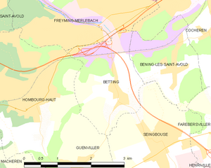
Betting
- commune in Moselle, France
- Country:

- Postal Code: 57800
- Coordinates: 49° 7' 40" N, 6° 49' 1" E


- GPS tracks (wikiloc): [Link]
- Area: 4.45 sq km
- Population: 841
