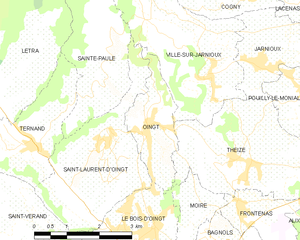
canton of Le Bois-d'Oingt (canton du Bois-d'Oingt)

- canton of France
- Country:

- Coordinates: 45° 56' 1" N, 4° 35' 3" E


- GPS tracks (wikiloc): [Link]
- Population: 28621
- Wikipedia en: wiki(en)
- Wikipedia: wiki(fr)
- Wikidata storage: Wikidata: Q1351875
- INSEE canton code: [6904]
Includes regions:


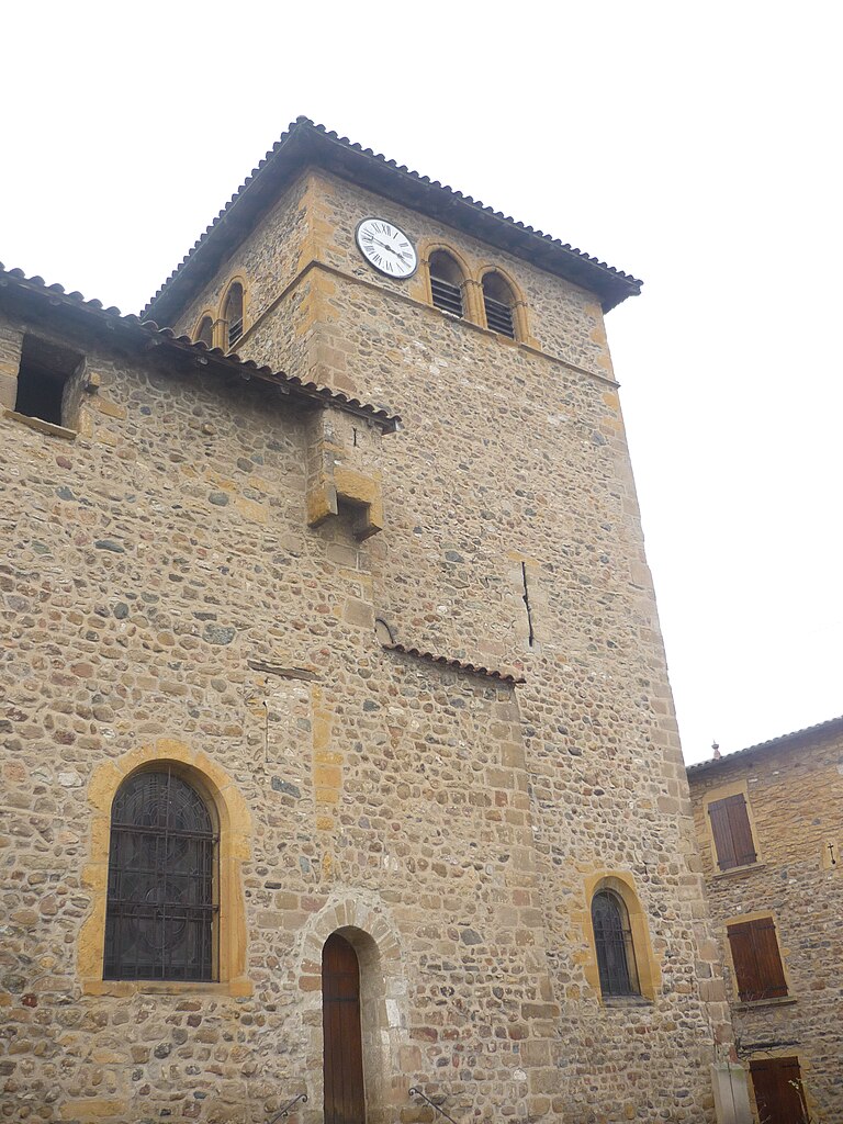
Le Bois-d'Oingt
- former commune in Rhône, France
- Country:
- Postal Code: 69620
- Coordinates: 45° 55' 14" N, 4° 35' 7" E
- GPS tracks (wikiloc): [Link]
- Area: 5.13 sq km
- Population: 2440
- Web site: [Link]


Saint-Laurent-d'Oingt
- former commune in Rhône, France
- Country:
- Postal Code: 69620
- Coordinates: 45° 56' 39" N, 4° 33' 47" E
- GPS tracks (wikiloc): [Link]
- Area: 9.05 sq km
- Population: 839
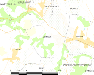
Le Breuil
- commune in Rhône, France
- Country:
- Postal Code: 69620
- Coordinates: 45° 53' 39" N, 4° 35' 15" E
- GPS tracks (wikiloc): [Link]
- Area: 5.63 sq km
- Population: 501

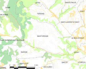
Saint-Vérand
- commune in Rhône, France
- Country:
- Postal Code: 69620
- Coordinates: 45° 55' 8" N, 4° 31' 39" E
- GPS tracks (wikiloc): [Link]
- Area: 17.58 sq km
- Population: 1155


Ville-sur-Jarnioux
- commune in Rhône, France
- Country:
- Postal Code: 69640
- Coordinates: 45° 57' 42" N, 4° 36' 30" E
- GPS tracks (wikiloc): [Link]
- Area: 10.11 sq km
- Population: 822


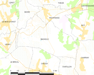
Frontenas
- commune in Rhône, France
- Country:
- Postal Code: 69620
- Coordinates: 45° 55' 32" N, 4° 37' 5" E
- GPS tracks (wikiloc): [Link]
- Area: 3.42 sq km
- Population: 816
- Web site: [Link]


Theizé
- commune in Rhône, France
- Country:
- Postal Code: 69620
- Coordinates: 45° 56' 23" N, 4° 36' 59" E
- GPS tracks (wikiloc): [Link]
- Area: 11.89 sq km
- Population: 1163
- Web site: [Link]


Sainte-Paule
- commune in Rhône, France
- Country:
- Postal Code: 69620
- Coordinates: 45° 57' 41" N, 4° 33' 55" E
- GPS tracks (wikiloc): [Link]
- Area: 7.5 sq km
- Population: 341


Létra
- commune in Rhône, France
- Country:
- Postal Code: 69620
- Coordinates: 45° 57' 45" N, 4° 31' 28" E
- GPS tracks (wikiloc): [Link]
- Area: 14.64 sq km
- Population: 937


Légny
- commune in Rhône, France
- Country:
- Postal Code: 69620
- Coordinates: 45° 54' 30" N, 4° 35' 1" E
- GPS tracks (wikiloc): [Link]
- Area: 3.97 sq km
- Population: 652

Bagnols
- commune in Rhône, France
- Country:
- Postal Code: 69620
- Coordinates: 45° 55' 3" N, 4° 36' 27" E
- GPS tracks (wikiloc): [Link]
- Area: 7.35 sq km
- Population: 680


Chamelet
- commune in Rhône, France
- Country:
- Postal Code: 69620
- Coordinates: 45° 59' 1" N, 4° 30' 35" E
- GPS tracks (wikiloc): [Link]
- Area: 14.43 sq km
- Population: 655


Ternand
- commune in Rhône, France
- Country:
- Postal Code: 69620
- Coordinates: 45° 56' 41" N, 4° 32' 5" E
- GPS tracks (wikiloc): [Link]
- Area: 10.75 sq km
- Population: 678

Oingt
- former commune in Rhône, France
- Country:
- Postal Code: 69620
- Coordinates: 45° 56' 52" N, 4° 34' 56" E
- GPS tracks (wikiloc): [Link]
- Area: 3.92 sq km
- Population: 672


Châtillon
- commune in Rhône, France
- Country:
- Postal Code: 69380
- Coordinates: 45° 52' 38" N, 4° 38' 45" E
- GPS tracks (wikiloc): [Link]
- Area: 10.71 sq km
- Population: 2178
- Web site: [Link]


Chessy, Rhône
- commune in Rhône, France
- Country:
- Postal Code: 69380
- Coordinates: 45° 53' 14" N, 4° 37' 24" E
- GPS tracks (wikiloc): [Link]
- Area: 4.55 sq km
- Population: 1982
- Web site: [Link]