canton of Montrichard (canton de Montrichard)
- canton of France
- Country:

- Coordinates: 47° 22' 14" N, 1° 12' 7" E


- GPS tracks (wikiloc): [Link]
- Population: 21041
- Wikipedia en: wiki(en)
- Wikipedia: wiki(fr)
- Wikidata storage: Wikidata: Q782376
- INSEE canton code: [4107]
Includes regions:


Angé
- commune in Loir-et-Cher, France
- Country:

- Postal Code: 41400
- Coordinates: 47° 19' 53" N, 1° 14' 34" E


- GPS tracks (wikiloc): [Link]
- Area: 17.36 sq km
- Population: 904


Monthou-sur-Cher
- commune in Loir-et-Cher, France
- Country:

- Postal Code: 41400
- Coordinates: 47° 20' 48" N, 1° 17' 43" E


- GPS tracks (wikiloc): [Link]
- Area: 20.16 sq km
- Population: 974


Rilly-sur-Loire
- commune in Loir-et-Cher, France
- Country:

- Postal Code: 41150
- Coordinates: 47° 27' 57" N, 1° 8' 5" E


- GPS tracks (wikiloc): [Link]
- Area: 10.22 sq km
- Population: 470


Faverolles-sur-Cher
- commune in Loir-et-Cher, France
- Country:

- Postal Code: 41400
- Coordinates: 47° 19' 17" N, 1° 11' 8" E


- GPS tracks (wikiloc): [Link]
- Area: 15.51 sq km
- Population: 1357


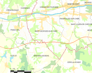
Saint-Georges-sur-Cher
- commune in Loir-et-Cher, France
- Country:

- Postal Code: 41400
- Coordinates: 47° 19' 31" N, 1° 7' 31" E


- GPS tracks (wikiloc): [Link]
- Area: 23.78 sq km
- Population: 2645
- Web site: [Link]
Thenay
- commune in Loir-et-Cher, France
- Country:

- Postal Code: 41400
- Coordinates: 47° 23' 16" N, 1° 17' 17" E


- GPS tracks (wikiloc): [Link]
- Area: 20.03 sq km
- Population: 870
Vallières-les-Grandes
- commune in Loir-et-Cher, France
- Country:

- Postal Code: 41400
- Coordinates: 47° 25' 22" N, 1° 8' 49" E


- GPS tracks (wikiloc): [Link]
- Area: 40.75 sq km
- Population: 916
Saint-Julien-de-Chédon
- commune in Loir-et-Cher, France
- Country:

- Postal Code: 41400
- Coordinates: 47° 19' 39" N, 1° 12' 10" E


- GPS tracks (wikiloc): [Link]
- Area: 9.87 sq km
- Population: 756


Pontlevoy
- commune in Loir-et-Cher, France
- Country:

- Postal Code: 41400
- Coordinates: 47° 23' 20" N, 1° 15' 13" E


- GPS tracks (wikiloc): [Link]
- Area: 51.12 sq km
- Population: 1512


Bourré
- former commune in Loir-et-Cher, France
- Country:

- Postal Code: 41400
- Coordinates: 47° 20' 50" N, 1° 13' 35" E


- GPS tracks (wikiloc): [Link]
- Area: 4.84 sq km
- Population: 667


Montrichard
- former commune in Loir-et-Cher, France
- Country:

- Postal Code: 41400
- Coordinates: 47° 20' 35" N, 1° 11' 0" E


- GPS tracks (wikiloc): [Link]
- Area: 14.36 sq km
- Population: 3170
- Web site: [Link]


Chaumont-sur-Loire
- commune in Loir-et-Cher, France
- Country:

- Postal Code: 41150
- Coordinates: 47° 28' 48" N, 1° 11' 8" E


- GPS tracks (wikiloc): [Link]
- Area: 26.84 sq km
- Population: 1089
- Web site: [Link]


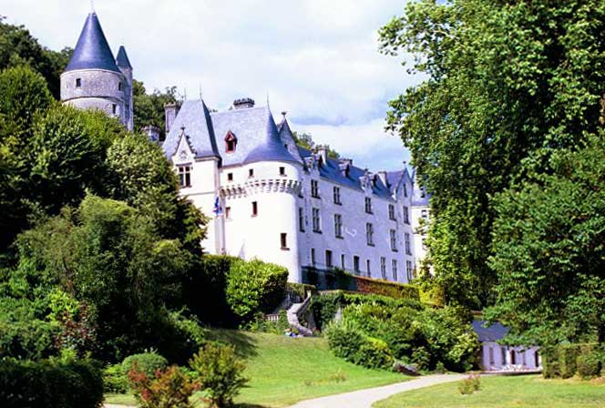
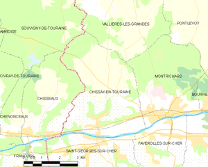
Chissay-en-Touraine
- commune in Loir-et-Cher, France
- Country:

- Postal Code: 41400
- Coordinates: 47° 20' 14" N, 1° 7' 59" E


- GPS tracks (wikiloc): [Link]
- Area: 18.17 sq km
- Population: 1168
- Web site: [Link]
