Thenay (Thenay)

- commune in Loir-et-Cher, France
- Country:

- Postal Code: 41400
- Coordinates: 47° 23' 16" N, 1° 17' 17" E


- GPS tracks (wikiloc): [Link]
- Area: 20.03 sq km
- Population: 870
- Wikipedia en: wiki(en)
- Wikipedia: wiki(fr)
- Wikidata storage: Wikidata: Q1170578
- Wikipedia Commons Category: [Link]
- Freebase ID: [/m/03qd2wm]
- GeoNames ID: Alt: [6613373]
- SIREN number: [214102576]
- BnF ID: [152595312]
- INSEE municipality code: 41257
Shares border with regions:


Monthou-sur-Cher
- commune in Loir-et-Cher, France
- Country:
- Postal Code: 41400
- Coordinates: 47° 20' 48" N, 1° 17' 43" E
- GPS tracks (wikiloc): [Link]
- Area: 20.16 sq km
- Population: 974


Feings
- commune in Loir-et-Cher, France
- Country:
- Postal Code: 41120
- Coordinates: 47° 26' 16" N, 1° 21' 10" E
- GPS tracks (wikiloc): [Link]
- Area: 16.52 sq km
- Population: 713


Pontlevoy
- commune in Loir-et-Cher, France
- Country:
- Postal Code: 41400
- Coordinates: 47° 23' 20" N, 1° 15' 13" E
- GPS tracks (wikiloc): [Link]
- Area: 51.12 sq km
- Population: 1512


Contres
- commune in Loir-et-Cher, France
- Country:
- Postal Code: 41700
- Coordinates: 47° 25' 8" N, 1° 25' 40" E
- GPS tracks (wikiloc): [Link]
- Area: 36.09 sq km
- Population: 3623
- Web site: [Link]


Fougères-sur-Bièvre
- commune in Loir-et-Cher, France
- Country:
- Postal Code: 41120
- Coordinates: 47° 26' 52" N, 1° 20' 34" E
- GPS tracks (wikiloc): [Link]
- Area: 14.69 sq km
- Population: 816
Sambin
- commune in Loir-et-Cher, France
- Country:
- Postal Code: 41120
- Coordinates: 47° 26' 17" N, 1° 17' 49" E
- GPS tracks (wikiloc): [Link]
- Area: 20.83 sq km
- Population: 944

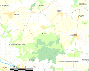
Choussy
- commune in Loir-et-Cher, France
- Country:
- Postal Code: 41700
- Coordinates: 47° 22' 24" N, 1° 20' 48" E
- GPS tracks (wikiloc): [Link]
- AboveSeaLevel: 80 м m
- Area: 15.45 sq km
- Population: 339
- Web site: [Link]