canton of Saint-Georges-en-Couzan (canton de Saint-Georges-en-Couzan)
- canton of France (until March 2015)
- Country:

- Capital: Saint-Georges-en-Couzan
- Coordinates: 45° 41' 57" N, 3° 54' 40" E


- GPS tracks (wikiloc): [Link]
- Wikipedia en: wiki(en)
- Wikipedia: wiki(fr)
- Wikidata storage: Wikidata: Q1355641
- INSEE canton code: [4225]
Includes regions:


Saint-Just-en-Bas
- commune in Loire, France
- Country:
- Postal Code: 42136
- Coordinates: 45° 43' 51" N, 3° 52' 50" E
- GPS tracks (wikiloc): [Link]
- Area: 20.95 sq km
- Population: 291


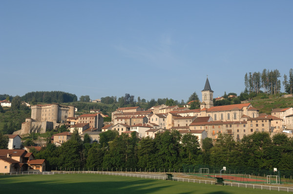
Saint-Georges-en-Couzan
- commune in Loire, France
- Country:
- Postal Code: 42990
- Coordinates: 45° 42' 5" N, 3° 55' 52" E
- GPS tracks (wikiloc): [Link]
- Area: 23.64 sq km
- Population: 443

Saint-Bonnet-le-Courreau
- commune in Loire, France
- Country:
- Postal Code: 42940
- Coordinates: 45° 39' 37" N, 3° 56' 38" E
- GPS tracks (wikiloc): [Link]
- Area: 50.18 sq km
- Population: 699
- Web site: [Link]


Sauvain
- commune in Loire, France
- Country:
- Postal Code: 42990
- Coordinates: 45° 40' 24" N, 3° 54' 20" E
- GPS tracks (wikiloc): [Link]
- Area: 30.23 sq km
- Population: 379

Chalmazel
- former commune in Loire, France
- Country:
- Postal Code: 42920
- Coordinates: 45° 42' 16" N, 3° 51' 2" E
- GPS tracks (wikiloc): [Link]
- Area: 39.38 sq km
- Population: 368
- Web site: [Link]


Sail-sous-Couzan
- commune in Loire, France
- Country:
- Postal Code: 42890
- Coordinates: 45° 44' 2" N, 3° 58' 14" E
- GPS tracks (wikiloc): [Link]
- Area: 7.43 sq km
- Population: 942
- Web site: [Link]


Palogneux
- commune in Loire, France
- Country:
- Postal Code: 42990
- Coordinates: 45° 44' 38" N, 3° 55' 12" E
- GPS tracks (wikiloc): [Link]
- Area: 7.01 sq km
- Population: 78

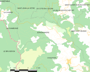
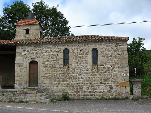
Jeansagnière
- former commune in Loire, France
- Country:
- Postal Code: 42920
- Coordinates: 45° 43' 59" N, 3° 50' 9" E
- GPS tracks (wikiloc): [Link]
- Area: 14.01 sq km
- Population: 83