canton of Saint-Jean-Soleymieux (canton de Saint-Jean-Soleymieux)
- canton of France (until March 2015)
- Country:

- Capital: Saint-Jean-Soleymieux
- Coordinates: 45° 30' 14" N, 4° 2' 37" E


- GPS tracks (wikiloc): [Link]
- Wikipedia en: wiki(en)
- Wikipedia: wiki(fr)
- Wikidata storage: Wikidata: Q1317128
- INSEE canton code: [4229]
Includes regions:

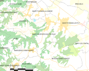
Saint-Georges-Haute-Ville
- commune in Loire, France
- Country:

- Postal Code: 42610
- Coordinates: 45° 33' 15" N, 4° 5' 55" E


- GPS tracks (wikiloc): [Link]
- Area: 9.63 sq km
- Population: 1403
- Web site: [Link]
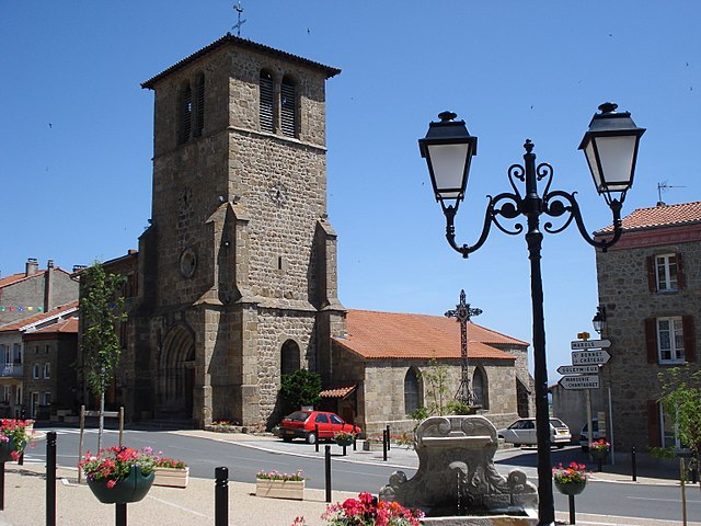

Saint-Jean-Soleymieux
- commune in Loire, France
- Country:

- Postal Code: 42560
- Coordinates: 45° 30' 13" N, 4° 2' 20" E


- GPS tracks (wikiloc): [Link]
- Area: 16.47 sq km
- Population: 851
- Web site: [Link]


Luriecq
- commune in Loire, France
- Country:

- Postal Code: 42380
- Coordinates: 45° 27' 4" N, 4° 4' 48" E


- GPS tracks (wikiloc): [Link]
- Area: 20.28 sq km
- Population: 1295
- Web site: [Link]

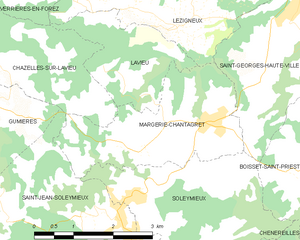
Margerie-Chantagret
- commune in Loire, France
- Country:

- Postal Code: 42560
- Coordinates: 45° 31' 30" N, 4° 4' 0" E


- GPS tracks (wikiloc): [Link]
- Area: 7.71 sq km
- Population: 800


Lavieu
- commune in Loire, France
- Country:

- Postal Code: 42560
- Coordinates: 45° 32' 20" N, 4° 2' 5" E


- GPS tracks (wikiloc): [Link]
- Area: 4.45 sq km
- Population: 113
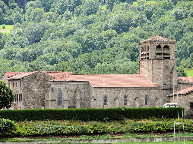

Gumières
- commune in Loire, France
- Country:

- Postal Code: 42560
- Coordinates: 45° 31' 52" N, 3° 59' 14" E


- GPS tracks (wikiloc): [Link]
- Area: 16.12 sq km
- Population: 323


Marols
- commune in Loire, France
- Country:

- Postal Code: 42560
- Coordinates: 45° 28' 41" N, 4° 2' 42" E


- GPS tracks (wikiloc): [Link]
- Area: 14.94 sq km
- Population: 414

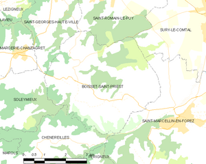
Boisset-Saint-Priest
- commune in Loire, France
- Country:

- Postal Code: 42560
- Coordinates: 45° 30' 47" N, 4° 6' 16" E


- GPS tracks (wikiloc): [Link]
- Area: 18.28 sq km
- Population: 1209
- Web site: [Link]


Montarcher
- commune in Loire, France
- Country:

- Postal Code: 42380
- Coordinates: 45° 27' 32" N, 3° 59' 46" E


- GPS tracks (wikiloc): [Link]
- Area: 5.99 sq km
- Population: 66