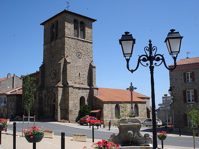
Gumières (Gumières)

- commune in Loire, France
- Country:

- Postal Code: 42560
- Coordinates: 45° 31' 52" N, 3° 59' 14" E


- GPS tracks (wikiloc): [Link]
- Area: 16.12 sq km
- Population: 323
- Wikipedia en: wiki(en)
- Wikipedia: wiki(fr)
- Wikidata storage: Wikidata: Q1155240
- Wikipedia Commons Category: [Link]
- Freebase ID: [/m/03nw8_n]
- Freebase ID: [/m/03nw8_n]
- GeoNames ID: Alt: [6434178]
- GeoNames ID: Alt: [6434178]
- SIREN number: [214201071]
- SIREN number: [214201071]
- BnF ID: [152596769]
- BnF ID: [152596769]
- INSEE municipality code: 42107
- INSEE municipality code: 42107
Shares border with regions:
Chazelles-sur-Lavieu
- commune in Loire, France
- Country:
- Postal Code: 42560
- Coordinates: 45° 32' 20" N, 4° 0' 2" E
- GPS tracks (wikiloc): [Link]
- Area: 9.85 sq km
- Population: 293

Saint-Jean-Soleymieux
- commune in Loire, France
- Country:
- Postal Code: 42560
- Coordinates: 45° 30' 13" N, 4° 2' 20" E
- GPS tracks (wikiloc): [Link]
- Area: 16.47 sq km
- Population: 851
- Web site: [Link]


Verrières-en-Forez
- commune in Loire, France
- Country:
- Postal Code: 42600
- Coordinates: 45° 34' 15" N, 3° 59' 48" E
- GPS tracks (wikiloc): [Link]
- Area: 21.17 sq km
- Population: 683

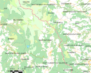
Saint-Anthème
- commune in Puy-de-Dôme, France
- Country:
- Postal Code: 63660
- Coordinates: 45° 31' 40" N, 3° 55' 2" E
- GPS tracks (wikiloc): [Link]
- Area: 68.89 sq km
- Population: 703
Saint-Clément-de-Valorgue
- commune in Puy-de-Dôme, France
- Country:
- Postal Code: 63660
- Coordinates: 45° 30' 1" N, 3° 55' 19" E
- GPS tracks (wikiloc): [Link]
- AboveSeaLevel: 919 м m
- Area: 13.37 sq km
- Population: 229
- Web site: [Link]