Carquefou (Carquefou)

- commune in Loire-Atlantique, France
- Country:

- Postal Code: 44470
- Coordinates: 47° 17' 49" N, 1° 29' 34" E


- GPS tracks (wikiloc): [Link]
- Area: 43.42 sq km
- Population: 19411
- Web site: http://www.carquefou.fr
- Wikipedia en: wiki(en)
- Wikipedia: wiki(fr)
- Wikidata storage: Wikidata: Q540940
- Wikipedia Commons Category: [Link]
- Freebase ID: [/m/03nwcj0]
- Freebase ID: [/m/03nwcj0]
- GeoNames ID: Alt: [3028535]
- GeoNames ID: Alt: [3028535]
- SIREN number: [214400269]
- SIREN number: [214400269]
- BnF ID: [152601957]
- BnF ID: [152601957]
- VIAF ID: Alt: [152209665]
- VIAF ID: Alt: [152209665]
- GND ID: Alt: [4286727-7]
- GND ID: Alt: [4286727-7]
- Library of Congress authority ID: Alt: [n2005017704]
- Library of Congress authority ID: Alt: [n2005017704]
- INSEE municipality code: 44026
- INSEE municipality code: 44026
Shares border with regions:


Saint-Mars-du-Désert
- commune in Loire-Atlantique, France
- Country:
- Postal Code: 44850
- Coordinates: 47° 21' 59" N, 1° 24' 21" E
- GPS tracks (wikiloc): [Link]
- Area: 30.46 sq km
- Population: 4721
- Web site: [Link]

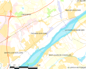
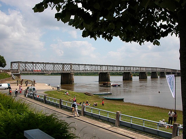
Thouaré-sur-Loire
- commune in Loire-Atlantique, France
- Country:
- Postal Code: 44470
- Coordinates: 47° 16' 3" N, 1° 26' 26" E
- GPS tracks (wikiloc): [Link]
- Area: 12.76 sq km
- Population: 9468
- Web site: [Link]

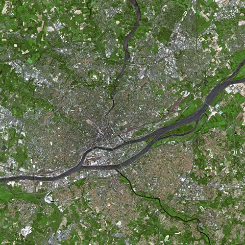
Nantes
- city in Loire-Atlantique, France
- Country:
- Postal Code: 44300; 44200; 44100; 44000
- Coordinates: 47° 13' 2" N, 1° 33' 14" E
- GPS tracks (wikiloc): [Link]
- AboveSeaLevel: 52 м m
- Area: 65.19 sq km
- Population: 303382
- Web site: [Link]


Sainte-Luce-sur-Loire
- commune in Loire-Atlantique, France
- Country:
- Postal Code: 44980
- Coordinates: 47° 14' 58" N, 1° 29' 12" E
- GPS tracks (wikiloc): [Link]
- Area: 11.45 sq km
- Population: 15172
- Web site: [Link]


La Chapelle-sur-Erdre
- commune in Loire-Atlantique, France
- Country:
- Postal Code: 44240
- Coordinates: 47° 17' 56" N, 1° 33' 10" E
- GPS tracks (wikiloc): [Link]
- Area: 33.42 sq km
- Population: 19159
- Web site: [Link]

Mauves-sur-Loire
- commune in Loire-Atlantique, France
- Country:
- Postal Code: 44470
- Coordinates: 47° 17' 46" N, 1° 23' 36" E
- GPS tracks (wikiloc): [Link]
- Area: 14.75 sq km
- Population: 3200
- Web site: [Link]

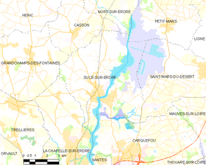
Sucé-sur-Erdre
- commune in Loire-Atlantique, France
- Country:
- Postal Code: 44240
- Coordinates: 47° 20' 0" N, 1° 32' 0" E
- GPS tracks (wikiloc): [Link]
- AboveSeaLevel: 14 м m
- Area: 41.33 sq km
- Population: 6903
- Web site: [Link]