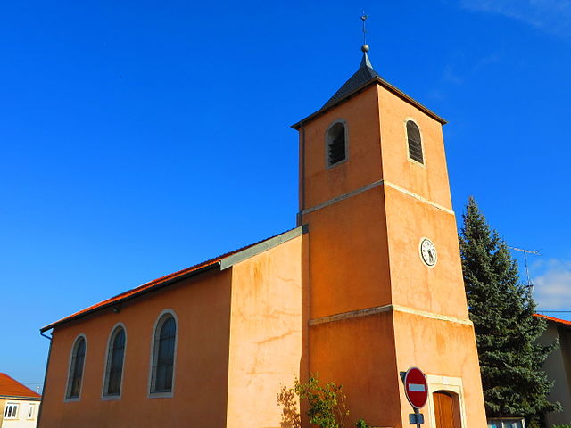
Château-Salins (Château-Salins)
- commune in Moselle, France
- Country:

- Postal Code: 57170
- Coordinates: 48° 49' 18" N, 6° 30' 30" E


- GPS tracks (wikiloc): [Link]
- Area: 10.76 sq km
- Population: 2442
- Web site: http://www.chateau-salins.fr/
- Wikipedia en: wiki(en)
- Wikipedia: wiki(fr)
- Wikidata storage: Wikidata: Q22745
- Wikipedia Commons Category: [Link]
- Freebase ID: [/m/08sj4y]
- Freebase ID: [/m/08sj4y]
- GeoNames ID: Alt: [3026200]
- GeoNames ID: Alt: [3026200]
- SIREN number: [215701327]
- SIREN number: [215701327]
- BnF ID: [15265641w]
- BnF ID: [15265641w]
- VIAF ID: Alt: [138451780]
- VIAF ID: Alt: [138451780]
- Library of Congress authority ID: Alt: [n85341277]
- Library of Congress authority ID: Alt: [n85341277]
- INSEE municipality code: 57132
- INSEE municipality code: 57132
Shares border with regions:


Amelécourt
- commune in Moselle, France
- Country:

- Postal Code: 57170
- Coordinates: 48° 50' 21" N, 6° 30' 5" E


- GPS tracks (wikiloc): [Link]
- Area: 7.56 sq km
- Population: 160
Lubécourt
- commune in Moselle, France
- Country:

- Postal Code: 57170
- Coordinates: 48° 50' 33" N, 6° 30' 56" E


- GPS tracks (wikiloc): [Link]
- Area: 3.45 sq km
- Population: 69


Chambrey
- commune in Moselle, France
- Country:

- Postal Code: 57170
- Coordinates: 48° 47' 13" N, 6° 27' 34" E


- GPS tracks (wikiloc): [Link]
- Area: 14.39 sq km
- Population: 346


Puttigny
- commune in Moselle, France
- Country:

- Postal Code: 57170
- Coordinates: 48° 51' 9" N, 6° 33' 5" E


- GPS tracks (wikiloc): [Link]
- Area: 7.47 sq km
- Population: 85


Fresnes-en-Saulnois
- commune in Moselle, France
- Country:

- Postal Code: 57170
- Coordinates: 48° 50' 23" N, 6° 26' 16" E


- GPS tracks (wikiloc): [Link]
- Area: 12.89 sq km
- Population: 181


Morville-lès-Vic
- commune in Moselle, France
- Country:

- Postal Code: 57170
- Coordinates: 48° 48' 54" N, 6° 32' 47" E


- GPS tracks (wikiloc): [Link]
- Area: 8.14 sq km
- Population: 132


Salonnes
- commune in Moselle, France
- Country:

- Postal Code: 57170
- Coordinates: 48° 47' 28" N, 6° 29' 46" E


- GPS tracks (wikiloc): [Link]
- Area: 12.69 sq km
- Population: 208
