
Chambord (Chambord)

- commune in Loir-et-Cher, France
- Country:

- Postal Code: 41250
- Coordinates: 47° 36' 47" N, 1° 31' 9" E


- GPS tracks (wikiloc): [Link]
- Area: 54.38 sq km
- Population: 106
- Wikipedia en: wiki(en)
- Wikipedia: wiki(fr)
- Wikidata storage: Wikidata: Q628532
- Wikipedia Commons Category: [Link]
- Freebase ID: [/m/0g23h6]
- GeoNames ID: Alt: [6455097]
- SIREN number: [214100349]
- BnF ID: [15259310j]
- VIAF ID: Alt: [237681779]
- archINFORM location ID: [561]
- MusicBrainz area ID: [bbf6f6f5-dcce-4f73-8b37-074c50c20b74]
- Encyclopædia Britannica Online ID: [place/Chambord]
- Larousse ID: [ville/wd/112584]
- INSEE municipality code: 41034
Shares border with regions:


Huisseau-sur-Cosson
- commune in Loir-et-Cher, France
- Country:
- Postal Code: 41350
- Coordinates: 47° 35' 33" N, 1° 27' 10" E
- GPS tracks (wikiloc): [Link]
- Area: 22.79 sq km
- Population: 2279
- Web site: [Link]

Neuvy
- commune in Loir-et-Cher, France
- Country:
- Postal Code: 41250
- Coordinates: 47° 33' 47" N, 1° 36' 10" E
- GPS tracks (wikiloc): [Link]
- Area: 31.28 sq km
- Population: 314
Maslives
- commune in Loir-et-Cher, France
- Country:
- Postal Code: 41250
- Coordinates: 47° 37' 54" N, 1° 28' 50" E
- GPS tracks (wikiloc): [Link]
- Area: 7.35 sq km
- Population: 716

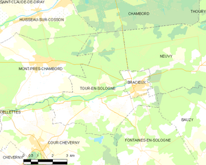
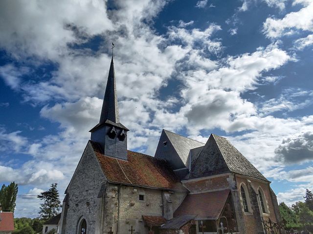
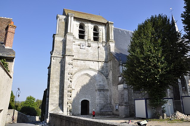
Tour-en-Sologne
- commune in Loir-et-Cher, France
- Country:
- Postal Code: 41250
- Coordinates: 47° 32' 20" N, 1° 30' 0" E
- GPS tracks (wikiloc): [Link]
- Area: 26.34 sq km
- Population: 1095


Muides-sur-Loire
- commune in Loir-et-Cher, France
- Country:
- Postal Code: 41500
- Coordinates: 47° 40' 8" N, 1° 31' 41" E
- GPS tracks (wikiloc): [Link]
- Area: 9.15 sq km
- Population: 1322

Saint-Dyé-sur-Loire
- commune in Loir-et-Cher, France
- Country:
- Postal Code: 41500
- Coordinates: 47° 39' 21" N, 1° 29' 19" E
- GPS tracks (wikiloc): [Link]
- Area: 5.51 sq km
- Population: 1139
Thoury
- commune in Loir-et-Cher, France
- Country:
- Postal Code: 41220
- Coordinates: 47° 37' 47" N, 1° 35' 47" E
- GPS tracks (wikiloc): [Link]
- Area: 15.76 sq km
- Population: 423


Saint-Laurent-Nouan
- commune in Loir-et-Cher, France
- Country:
- Postal Code: 41220
- Coordinates: 47° 43' 0" N, 1° 36' 0" E
- GPS tracks (wikiloc): [Link]
- Area: 60.98 sq km
- Population: 4324
- Web site: [Link]