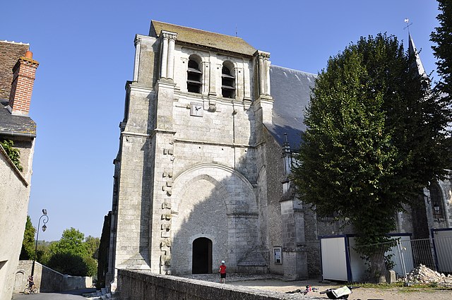
Maslives (Maslives)

- commune in Loir-et-Cher, France
- Country:

- Postal Code: 41250
- Coordinates: 47° 37' 54" N, 1° 28' 50" E


- GPS tracks (wikiloc): [Link]
- Area: 7.35 sq km
- Population: 716
- Wikipedia en: wiki(en)
- Wikipedia: wiki(fr)
- Wikidata storage: Wikidata: Q1382519
- Wikipedia Commons Category: [Link]
- Freebase ID: [/m/03nw0hs]
- GeoNames ID: Alt: [2995273]
- SIREN number: [214101297]
- BnF ID: [15259403j]
- INSEE municipality code: 41129
Shares border with regions:


Suèvres
- commune in Loir-et-Cher, France
- Country:
- Postal Code: 41500
- Coordinates: 47° 40' 0" N, 1° 27' 39" E
- GPS tracks (wikiloc): [Link]
- Area: 36.65 sq km
- Population: 1673


Huisseau-sur-Cosson
- commune in Loir-et-Cher, France
- Country:
- Postal Code: 41350
- Coordinates: 47° 35' 33" N, 1° 27' 10" E
- GPS tracks (wikiloc): [Link]
- Area: 22.79 sq km
- Population: 2279
- Web site: [Link]


Chambord
- commune in Loir-et-Cher, France
- Country:
- Postal Code: 41250
- Coordinates: 47° 36' 47" N, 1° 31' 9" E
- GPS tracks (wikiloc): [Link]
- Area: 54.38 sq km
- Population: 106


Montlivault
- commune in Loir-et-Cher, France
- Country:
- Postal Code: 41350
- Coordinates: 47° 38' 23" N, 1° 26' 37" E
- GPS tracks (wikiloc): [Link]
- Area: 10.73 sq km
- Population: 1375

Saint-Dyé-sur-Loire
- commune in Loir-et-Cher, France
- Country:
- Postal Code: 41500
- Coordinates: 47° 39' 21" N, 1° 29' 19" E
- GPS tracks (wikiloc): [Link]
- Area: 5.51 sq km
- Population: 1139