canton of Bracieux (canton de Bracieux)
- canton of France (until March 2015)
- Country:

- Capital: Bracieux
- Coordinates: 47° 35' 57" N, 1° 32' 4" E


- GPS tracks (wikiloc): [Link]
- Wikidata storage: Wikidata: Q1536823
- INSEE canton code: [4103]
Includes regions:


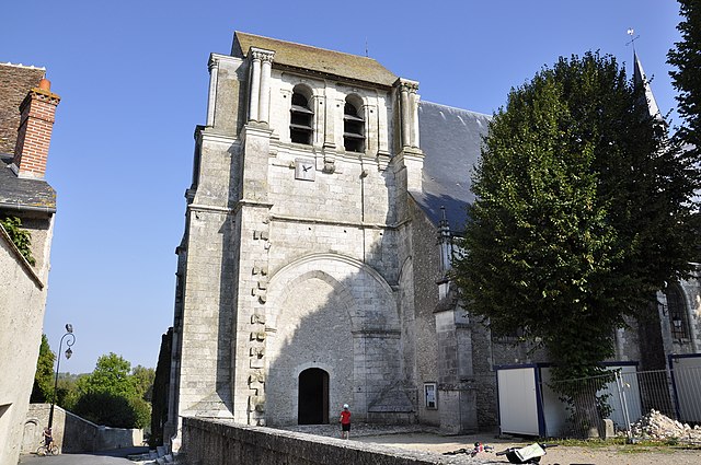
Bracieux
- commune in Loir-et-Cher, France
- Country:
- Postal Code: 41250
- Coordinates: 47° 32' 55" N, 1° 32' 30" E
- GPS tracks (wikiloc): [Link]
- Area: 2.95 sq km
- Population: 1294


Huisseau-sur-Cosson
- commune in Loir-et-Cher, France
- Country:
- Postal Code: 41350
- Coordinates: 47° 35' 33" N, 1° 27' 10" E
- GPS tracks (wikiloc): [Link]
- Area: 22.79 sq km
- Population: 2279
- Web site: [Link]

Neuvy
- commune in Loir-et-Cher, France
- Country:
- Postal Code: 41250
- Coordinates: 47° 33' 47" N, 1° 36' 10" E
- GPS tracks (wikiloc): [Link]
- Area: 31.28 sq km
- Population: 314
Maslives
- commune in Loir-et-Cher, France
- Country:
- Postal Code: 41250
- Coordinates: 47° 37' 54" N, 1° 28' 50" E
- GPS tracks (wikiloc): [Link]
- Area: 7.35 sq km
- Population: 716

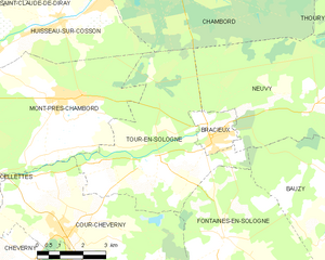
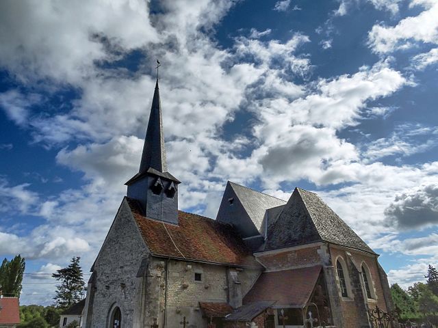
Tour-en-Sologne
- commune in Loir-et-Cher, France
- Country:
- Postal Code: 41250
- Coordinates: 47° 32' 20" N, 1° 30' 0" E
- GPS tracks (wikiloc): [Link]
- Area: 26.34 sq km
- Population: 1095


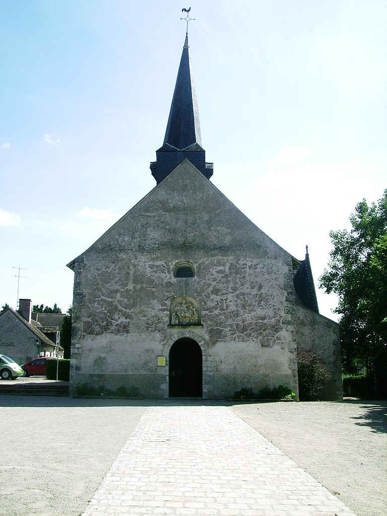
Fontaines-en-Sologne
- commune in Loir-et-Cher, France
- Country:
- Postal Code: 41250
- Coordinates: 47° 30' 34" N, 1° 33' 3" E
- GPS tracks (wikiloc): [Link]
- Area: 46.25 sq km
- Population: 630
Mont-près-Chambord
- commune in Loir-et-Cher, France
- Country:
- Postal Code: 41250
- Coordinates: 47° 33' 46" N, 1° 27' 44" E
- GPS tracks (wikiloc): [Link]
- Area: 28.51 sq km
- Population: 3244


Muides-sur-Loire
- commune in Loir-et-Cher, France
- Country:
- Postal Code: 41500
- Coordinates: 47° 40' 8" N, 1° 31' 41" E
- GPS tracks (wikiloc): [Link]
- Area: 9.15 sq km
- Population: 1322


Chambord
- commune in Loir-et-Cher, France
- Country:
- Postal Code: 41250
- Coordinates: 47° 36' 47" N, 1° 31' 9" E
- GPS tracks (wikiloc): [Link]
- Area: 54.38 sq km
- Population: 106


Bauzy
- commune in Loir-et-Cher, France
- Country:
- Postal Code: 41250
- Coordinates: 47° 32' 7" N, 1° 36' 29" E
- GPS tracks (wikiloc): [Link]
- Area: 24.7 sq km
- Population: 285

Saint-Dyé-sur-Loire
- commune in Loir-et-Cher, France
- Country:
- Postal Code: 41500
- Coordinates: 47° 39' 21" N, 1° 29' 19" E
- GPS tracks (wikiloc): [Link]
- Area: 5.51 sq km
- Population: 1139


Saint-Laurent-Nouan
- commune in Loir-et-Cher, France
- Country:
- Postal Code: 41220
- Coordinates: 47° 43' 0" N, 1° 36' 0" E
- GPS tracks (wikiloc): [Link]
- Area: 60.98 sq km
- Population: 4324
- Web site: [Link]

Crouy-sur-Cosson
- commune in Loir-et-Cher, France
- Country:
- Postal Code: 41220
- Coordinates: 47° 39' 2" N, 1° 36' 24" E
- GPS tracks (wikiloc): [Link]
- Area: 28.37 sq km
- Population: 513