Chapelle-Vallon (Chapelle-Vallon)
- commune in Aube, France
- Country:

- Postal Code: 10700
- Coordinates: 48° 26' 8" N, 4° 2' 24" E


- GPS tracks (wikiloc): [Link]
- Area: 19.24 sq km
- Population: 246
- Wikipedia en: wiki(en)
- Wikipedia: wiki(fr)
- Wikidata storage: Wikidata: Q1085337
- Wikipedia Commons Category: [Link]
- Freebase ID: [/m/03m8r17]
- GeoNames ID: Alt: [6446960]
- SIREN number: [211000773]
- BnF ID: [15246175n]
- INSEE municipality code: 10082
Shares border with regions:


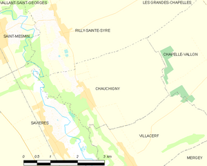
Chauchigny
- commune in Aube, France
- Country:

- Postal Code: 10170
- Coordinates: 48° 25' 24" N, 3° 58' 4" E


- GPS tracks (wikiloc): [Link]
- Area: 9.72 sq km
- Population: 264


Aubeterre
- commune in Aube, France
- Country:

- Postal Code: 10150
- Coordinates: 48° 25' 48" N, 4° 7' 12" E


- GPS tracks (wikiloc): [Link]
- Area: 11.66 sq km
- Population: 331


Montsuzain
- commune in Aube, France
- Country:

- Postal Code: 10150
- Coordinates: 48° 26' 38" N, 4° 7' 56" E


- GPS tracks (wikiloc): [Link]
- Area: 19.62 sq km
- Population: 408


Mergey
- commune in Aube, France
- Country:

- Postal Code: 10600
- Coordinates: 48° 23' 8" N, 4° 0' 16" E


- GPS tracks (wikiloc): [Link]
- Area: 15.01 sq km
- Population: 706


Les Grandes-Chapelles
- commune in Aube, France
- Country:

- Postal Code: 10170
- Coordinates: 48° 28' 0" N, 4° 0' 58" E


- GPS tracks (wikiloc): [Link]
- Area: 22.1 sq km
- Population: 394


Villacerf
- commune in Aube, France
- Country:

- Postal Code: 10600
- Coordinates: 48° 23' 56" N, 3° 59' 28" E


- GPS tracks (wikiloc): [Link]
- Area: 9.64 sq km
- Population: 580
Rilly-Sainte-Syre
- commune in Aube, France
- Country:

- Postal Code: 10280
- Coordinates: 48° 26' 38" N, 3° 57' 27" E


- GPS tracks (wikiloc): [Link]
- Area: 14.16 sq km
- Population: 230


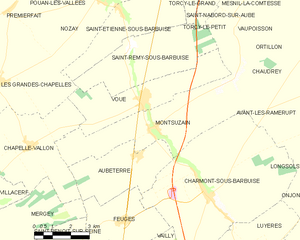
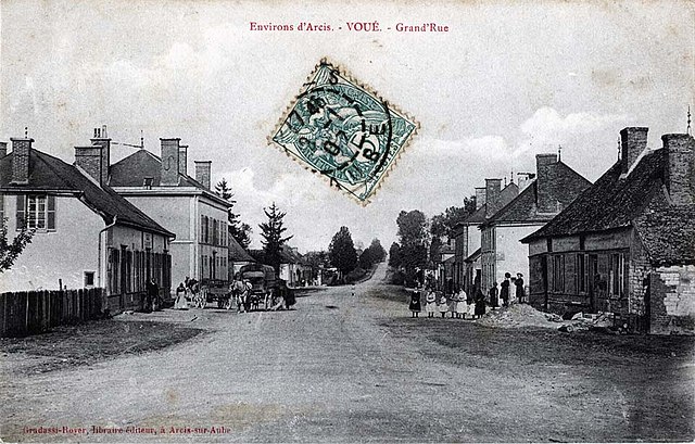
Voué
- commune in Aube, France
- Country:

- Postal Code: 10150
- Coordinates: 48° 27' 24" N, 4° 7' 21" E


- GPS tracks (wikiloc): [Link]
- Area: 13.25 sq km
- Population: 665
