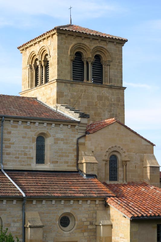
Charlieu (Charlieu)

- commune in Loire, France
- Country:

- Postal Code: 42190
- Coordinates: 46° 9' 34" N, 4° 10' 19" E


- GPS tracks (wikiloc): [Link]
- AboveSeaLevel: 265 м m
- Area: 6.7 sq km
- Population: 3694
- Web site: http://www.ville-charlieu.fr
- Wikipedia en: wiki(en)
- Wikipedia: wiki(fr)
- Wikidata storage: Wikidata: Q688187
- Wikipedia Commons Category: [Link]
- Freebase ID: [/m/0b0fc_]
- Freebase ID: [/m/0b0fc_]
- GeoNames ID: Alt: [3026610]
- GeoNames ID: Alt: [3026610]
- SIREN number: [214200529]
- SIREN number: [214200529]
- BnF ID: [15259622c]
- BnF ID: [15259622c]
- VIAF ID: Alt: [136160215]
- VIAF ID: Alt: [136160215]
- GND ID: Alt: [4223360-4]
- GND ID: Alt: [4223360-4]
- archINFORM location ID: [5934]
- archINFORM location ID: [5934]
- Library of Congress authority ID: Alt: [n88643270]
- Library of Congress authority ID: Alt: [n88643270]
- WOEID: [584672]
- WOEID: [584672]
- INSEE municipality code: 42052
- INSEE municipality code: 42052
Shares border with regions:


Pouilly-sous-Charlieu
- commune in Loire, France
- Country:
- Postal Code: 42720
- Coordinates: 46° 8' 41" N, 4° 6' 32" E
- GPS tracks (wikiloc): [Link]
- Area: 15.99 sq km
- Population: 2491
- Web site: [Link]
Chandon
- commune in Loire, France
- Country:
- Postal Code: 42190
- Coordinates: 46° 8' 59" N, 4° 12' 50" E
- GPS tracks (wikiloc): [Link]
- Area: 12.38 sq km
- Population: 1438

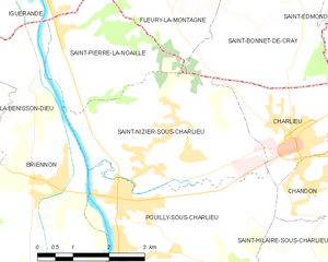
Saint-Nizier-sous-Charlieu
- commune in Loire, France
- Country:
- Postal Code: 42190
- Coordinates: 46° 9' 11" N, 4° 7' 21" E
- GPS tracks (wikiloc): [Link]
- Area: 12.83 sq km
- Population: 1698
- Web site: [Link]
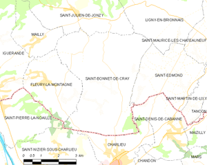
Saint-Bonnet-de-Cray
- commune in Saône-et-Loire, France
- Country:
- Postal Code: 71340
- Coordinates: 46° 12' 54" N, 4° 8' 22" E
- GPS tracks (wikiloc): [Link]
- Area: 22.41 sq km
- Population: 484

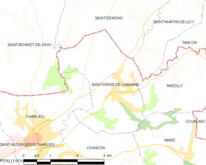
Saint-Denis-de-Cabanne
- commune in Loire, France
- Country:
- Postal Code: 42750
- Coordinates: 46° 10' 27" N, 4° 12' 43" E
- GPS tracks (wikiloc): [Link]
- Area: 7.65 sq km
- Population: 1271
- Web site: [Link]