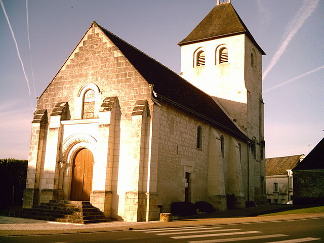
Ciran (Ciran)
- commune in Indre-et-Loire, France
- Country:

- Postal Code: 37240
- Coordinates: 47° 3' 35" N, 0° 52' 21" E


- GPS tracks (wikiloc): [Link]
- Area: 13.86 sq km
- Population: 425
- Wikipedia en: wiki(en)
- Wikipedia: wiki(fr)
- Wikidata storage: Wikidata: Q1135836
- Wikipedia Commons Category: [Link]
- Freebase ID: [/m/03nmxkk]
- GeoNames ID: Alt: [6455077]
- SIREN number: [213700784]
- BnF ID: [152576299]
- PACTOLS thesaurus ID: [pcrtKgJQpKL7bU]
- Digital Atlas of the Roman Empire ID: [13416]
- INSEE municipality code: 37078
Shares border with regions:


Esves-le-Moutier
- commune in Indre-et-Loire, France
- Country:

- Postal Code: 37240
- Coordinates: 47° 2' 27" N, 0° 54' 27" E


- GPS tracks (wikiloc): [Link]
- Area: 10.53 sq km
- Population: 154


Ligueil
- commune in Indre-et-Loire, France
- Country:

- Postal Code: 37240
- Coordinates: 47° 2' 34" N, 0° 49' 7" E


- GPS tracks (wikiloc): [Link]
- Area: 29.72 sq km
- Population: 2211
- Web site: [Link]


Varennes
- commune in Indre-et-Loire, France
- Country:

- Postal Code: 37600
- Coordinates: 47° 4' 10" N, 0° 54' 57" E


- GPS tracks (wikiloc): [Link]
- Area: 11.07 sq km
- Population: 247


Mouzay
- commune in Indre-et-Loire, France
- Country:

- Postal Code: 37600
- Coordinates: 47° 5' 22" N, 0° 53' 33" E


- GPS tracks (wikiloc): [Link]
- Area: 23.71 sq km
- Population: 479


Vou
- commune in Indre-et-Loire, France
- Country:

- Postal Code: 37240
- Coordinates: 47° 5' 7" N, 0° 51' 33" E


- GPS tracks (wikiloc): [Link]
- Area: 21.95 sq km
- Population: 203


Ferrière-Larçon
- commune in Indre-et-Loire, France
- Country:

- Postal Code: 37350
- Coordinates: 46° 59' 36" N, 0° 52' 53" E


- GPS tracks (wikiloc): [Link]
- Area: 20.87 sq km
- Population: 253
- Web site: [Link]
