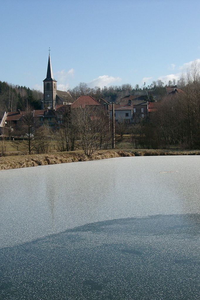
Cirey-sur-Vezouze (Cirey-sur-Vezouze)

- commune in Meurthe-et-Moselle, France
- Country:

- Postal Code: 54480
- Coordinates: 48° 34' 51" N, 6° 56' 51" E


- GPS tracks (wikiloc): [Link]
- AboveSeaLevel: 260 м m
- Area: 16.39 sq km
- Population: 1679
- Wikipedia en: wiki(en)
- Wikipedia: wiki(fr)
- Wikidata storage: Wikidata: Q232021
- Wikipedia Commons Category: [Link]
- Freebase ID: [/m/03qdg7c]
- Freebase ID: [/m/03qdg7c]
- GeoNames ID: Alt: [6617045]
- GeoNames ID: Alt: [6617045]
- SIREN number: [215401290]
- SIREN number: [215401290]
- BnF ID: [152641987]
- BnF ID: [152641987]
- VIAF ID: Alt: [127286014]
- VIAF ID: Alt: [127286014]
- archINFORM location ID: [5226]
- archINFORM location ID: [5226]
- INSEE municipality code: 54129
- INSEE municipality code: 54129
Shares border with regions:


Bertrambois
- commune in Meurthe-et-Moselle, France
- Country:
- Postal Code: 54480
- Coordinates: 48° 36' 19" N, 6° 59' 10" E
- GPS tracks (wikiloc): [Link]
- Area: 18.46 sq km
- Population: 324
Tanconville
- commune in Meurthe-et-Moselle, France
- Country:
- Postal Code: 54480
- Coordinates: 48° 36' 18" N, 6° 56' 1" E
- GPS tracks (wikiloc): [Link]
- Area: 4.09 sq km
- Population: 115


Harbouey
- commune in Meurthe-et-Moselle, France
- Country:
- Postal Code: 54450
- Coordinates: 48° 34' 12" N, 6° 53' 12" E
- GPS tracks (wikiloc): [Link]
- Area: 10.14 sq km
- Population: 115


Frémonville
- commune in Meurthe-et-Moselle, France
- Country:
- Postal Code: 54450
- Coordinates: 48° 35' 43" N, 6° 53' 13" E
- GPS tracks (wikiloc): [Link]
- Area: 13.65 sq km
- Population: 182

Val-et-Châtillon
- commune in Meurthe-et-Moselle, France
- Country:
- Postal Code: 54480
- Coordinates: 48° 33' 31" N, 6° 57' 58" E
- GPS tracks (wikiloc): [Link]
- Area: 18.57 sq km
- Population: 603
Petitmont
- commune in Meurthe-et-Moselle, France
- Country:
- Postal Code: 54480
- Coordinates: 48° 33' 26" N, 6° 57' 24" E
- GPS tracks (wikiloc): [Link]
- Area: 17.6 sq km
- Population: 324