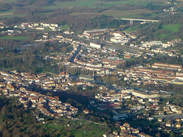
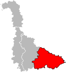
arrondissement of Lunéville (arrondissement de Lunéville)
- arrondissement of France
- Country:

- Capital: Lunéville
- Coordinates: 48° 35' 0" N, 6° 40' 0" E


- GPS tracks (wikiloc): [Link]
- Area: 1451 sq km
- Population: 79165
- Wikipedia en: wiki(en)
- Wikipedia: wiki(fr)
- Wikidata storage: Wikidata: Q701572
- Freebase ID: [/m/09566p]
- GeoNames ID: Alt: [2997109]
- Library of Congress authority ID: Alt: [n2018013991]
- INSEE arrondissement code: [542]
- GNS Unique Feature ID: -1448303
Includes regions:


canton of Baccarat
- canton of France
- Country:

- Capital: Baccarat
- Coordinates: 48° 28' 48" N, 6° 45' 3" E


- GPS tracks (wikiloc): [Link]
- Population: 27549

canton of Badonviller
- canton of France
- Country:

- Capital: Badonviller
- Coordinates: 48° 29' 52" N, 6° 54' 44" E


- GPS tracks (wikiloc): [Link]

canton of Gerbéviller
- canton of France
- Country:

- Capital: Gerbéviller
- Coordinates: 48° 29' 14" N, 6° 30' 2" E


- GPS tracks (wikiloc): [Link]

canton of Cirey-sur-Vezouze
- canton of France (until March 2015)
- Country:

- Capital: Cirey-sur-Vezouze
- Coordinates: 48° 34' 6" N, 6° 57' 19" E


- GPS tracks (wikiloc): [Link]


