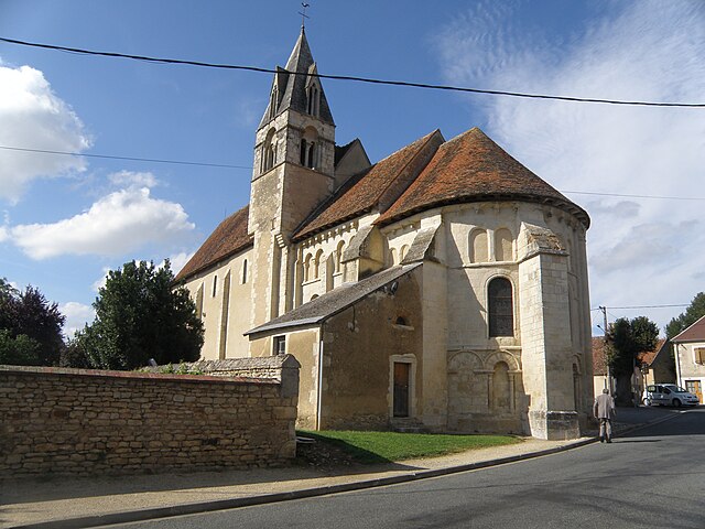
Cogny (Cogny)

- commune in Cher, France
- Country:

- Postal Code: 18130
- Coordinates: 46° 51' 0" N, 2° 39' 21" E


- GPS tracks (wikiloc): [Link]
- Area: 16.69 sq km
- Population: 38
- Wikipedia en: wiki(en)
- Wikipedia: wiki(fr)
- Wikidata storage: Wikidata: Q510349
- Wikipedia Commons Category: [Link]
- Freebase ID: [/m/03md25t]
- GeoNames ID: Alt: [6447459]
- SIREN number: [211800685]
- BnF ID: [152494140]
- PACTOLS thesaurus ID: [pcrtZehB94j1MW]
- INSEE municipality code: 18068
Shares border with regions:


Bussy
- commune in Cher, France
- Country:
- Postal Code: 18130
- Coordinates: 46° 54' 12" N, 2° 37' 16" E
- GPS tracks (wikiloc): [Link]
- Area: 26.69 sq km
- Population: 381


Thaumiers
- commune in Cher, France
- Country:
- Postal Code: 18210
- Coordinates: 46° 49' 17" N, 2° 39' 18" E
- GPS tracks (wikiloc): [Link]
- Area: 27.33 sq km
- Population: 415
- Web site: [Link]
Verneuil
- commune in Cher, France
- Country:
- Postal Code: 18210
- Coordinates: 46° 49' 1" N, 2° 36' 16" E
- GPS tracks (wikiloc): [Link]
- Area: 11.04 sq km
- Population: 35

Chalivoy-Milon
- commune in Cher, France
- Country:
- Postal Code: 18130
- Coordinates: 46° 51' 34" N, 2° 42' 20" E
- GPS tracks (wikiloc): [Link]
- Area: 19.61 sq km
- Population: 442
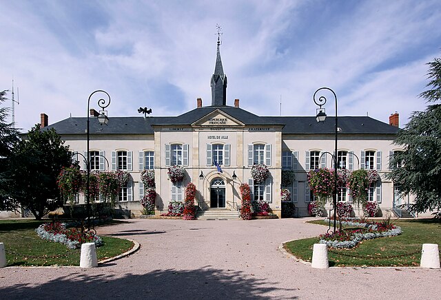

Dun-sur-Auron
- commune in Cher, France
- Country:
- Postal Code: 18130
- Coordinates: 46° 53' 5" N, 2° 34' 18" E
- GPS tracks (wikiloc): [Link]
- Area: 50.09 sq km
- Population: 3971
- Web site: [Link]