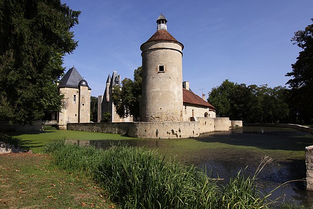
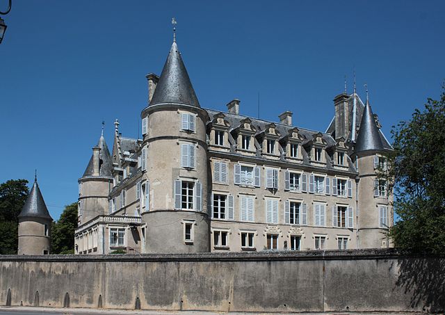
Chalivoy-Milon (Chalivoy-Milon)

- commune in Cher, France
- Country:

- Postal Code: 18130
- Coordinates: 46° 51' 34" N, 2° 42' 20" E


- GPS tracks (wikiloc): [Link]
- Area: 19.61 sq km
- Population: 442
- Wikipedia en: wiki(en)
- Wikipedia: wiki(fr)
- Wikidata storage: Wikidata: Q655957
- Wikipedia Commons Category: [Link]
- Freebase ID: [/m/03mfccj]
- GeoNames ID: Alt: [6447446]
- SIREN number: [211800453]
- BnF ID: [152493915]
- TGN ID: [5001206]
- INSEE municipality code: 18045
Shares border with regions:


Bussy
- commune in Cher, France
- Country:
- Postal Code: 18130
- Coordinates: 46° 54' 12" N, 2° 37' 16" E
- GPS tracks (wikiloc): [Link]
- Area: 26.69 sq km
- Population: 381

Bannegon
- commune in Cher, France
- Country:
- Postal Code: 18210
- Coordinates: 46° 48' 4" N, 2° 42' 50" E
- GPS tracks (wikiloc): [Link]
- Area: 21.08 sq km
- Population: 258
- Web site: [Link]
Chaumont
- commune in Cher, France
- Country:
- Postal Code: 18350
- Coordinates: 46° 50' 41" N, 2° 45' 11" E
- GPS tracks (wikiloc): [Link]
- AboveSeaLevel: 241 м m
- Area: 2.11 sq km
- Population: 54


Thaumiers
- commune in Cher, France
- Country:
- Postal Code: 18210
- Coordinates: 46° 49' 17" N, 2° 39' 18" E
- GPS tracks (wikiloc): [Link]
- Area: 27.33 sq km
- Population: 415
- Web site: [Link]

Blet
- commune in Cher, France
- Country:
- Postal Code: 18350
- Coordinates: 46° 53' 43" N, 2° 43' 53" E
- GPS tracks (wikiloc): [Link]
- Area: 30.08 sq km
- Population: 587


Lantan
- commune in Cher, France
- Country:
- Postal Code: 18130
- Coordinates: 46° 54' 24" N, 2° 39' 44" E
- GPS tracks (wikiloc): [Link]
- Area: 13.36 sq km
- Population: 95
Cogny
- commune in Cher, France
- Country:
- Postal Code: 18130
- Coordinates: 46° 51' 0" N, 2° 39' 21" E
- GPS tracks (wikiloc): [Link]
- Area: 16.69 sq km
- Population: 38