Courgenard (Courgenard)

- commune in Sarthe, France
- Country:

- Postal Code: 72320
- Coordinates: 48° 9' 6" N, 0° 44' 12" E


- GPS tracks (wikiloc): [Link]
- Area: 11.32 sq km
- Population: 494
- Wikipedia en: wiki(en)
- Wikipedia: wiki(fr)
- Wikidata storage: Wikidata: Q1222882
- Wikipedia Commons Category: [Link]
- Freebase ID: [/m/03qkzpf]
- GeoNames ID: Alt: [6442551]
- SIREN number: [217201052]
- BnF ID: [152736617]
- VIAF ID: Alt: [238134528]
- INSEE municipality code: 72105
Shares border with regions:
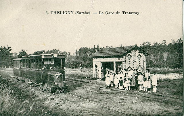

Théligny
- commune in Sarthe, France
- Country:
- Postal Code: 72320
- Coordinates: 48° 10' 31" N, 0° 47' 59" E
- GPS tracks (wikiloc): [Link]
- Area: 14.31 sq km
- Population: 219

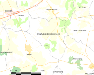
Saint-Jean-des-Échelles
- commune in Sarthe, France
- Country:
- Postal Code: 72320
- Coordinates: 48° 7' 48" N, 0° 42' 48" E
- GPS tracks (wikiloc): [Link]
- Area: 10.64 sq km
- Population: 254

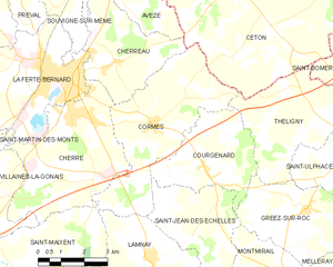
Cormes
- commune in Sarthe, France
- Country:
- Postal Code: 72400
- Coordinates: 48° 10' 12" N, 0° 42' 17" E
- GPS tracks (wikiloc): [Link]
- Area: 19 sq km
- Population: 906
- Web site: [Link]

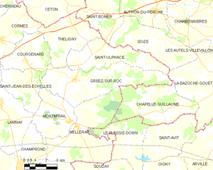
Gréez-sur-Roc
- commune in Sarthe, France
- Country:
- Postal Code: 72320
- Coordinates: 48° 8' 14" N, 0° 47' 41" E
- GPS tracks (wikiloc): [Link]
- Area: 25.38 sq km
- Population: 339