Crozant (Crozant)
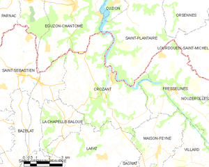
- commune in Creuse, France
- Country:

- Postal Code: 23160
- Coordinates: 46° 23' 30" N, 1° 37' 16" E


- GPS tracks (wikiloc): [Link]
- Area: 30.52 sq km
- Population: 459
- Wikipedia en: wiki(en)
- Wikipedia: wiki(fr)
- Wikidata storage: Wikidata: Q174032
- Wikipedia Commons Category: [Link]
- Freebase ID: [/m/092nfm]
- Freebase ID: [/m/092nfm]
- GeoNames ID: Alt: [3022255]
- GeoNames ID: Alt: [3022255]
- SIREN number: [212307003]
- SIREN number: [212307003]
- BnF ID: [15251458w]
- BnF ID: [15251458w]
- VIAF ID: Alt: [241512462]
- VIAF ID: Alt: [241512462]
- Library of Congress authority ID: Alt: [n90600771]
- Library of Congress authority ID: Alt: [n90600771]
- WOEID: [588076]
- WOEID: [588076]
- INSEE municipality code: 23070
- INSEE municipality code: 23070
Shares border with regions:


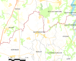
Saint-Sébastien
- commune in Creuse, France
- Country:

- Postal Code: 23160
- Coordinates: 46° 23' 28" N, 1° 31' 53" E


- GPS tracks (wikiloc): [Link]
- Area: 24.98 sq km
- Population: 657


La Chapelle-Baloue
- commune in Creuse, France
- Country:

- Postal Code: 23160
- Coordinates: 46° 21' 35" N, 1° 34' 36" E


- GPS tracks (wikiloc): [Link]
- Area: 8.68 sq km
- Population: 135


Saint-Plantaire
- commune in Indre, France
- Country:

- Postal Code: 36190
- Coordinates: 46° 27' 26" N, 1° 40' 13" E


- GPS tracks (wikiloc): [Link]
- Area: 34.07 sq km
- Population: 584
- Web site: [Link]

Fresselines
- commune in Creuse, France
- Country:

- Postal Code: 23450
- Coordinates: 46° 22' 58" N, 1° 40' 55" E


- GPS tracks (wikiloc): [Link]
- Area: 30.78 sq km
- Population: 531
Lafat
- commune in Creuse, France
- Country:

- Postal Code: 23800
- Coordinates: 46° 20' 5" N, 1° 36' 50" E


- GPS tracks (wikiloc): [Link]
- Area: 21.28 sq km
- Population: 362


Éguzon-Chantôme
- commune in Indre, France
- Country:

- Postal Code: 36270
- Coordinates: 46° 26' 32" N, 1° 34' 57" E


- GPS tracks (wikiloc): [Link]
- Area: 36.44 sq km
- Population: 1375


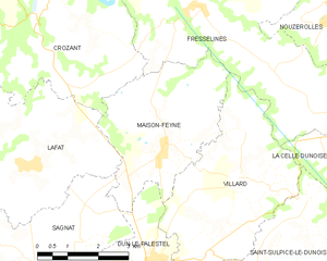
Maison-Feyne
- commune in Creuse, France
- Country:

- Postal Code: 23800
- Coordinates: 46° 20' 24" N, 1° 40' 12" E


- GPS tracks (wikiloc): [Link]
- Area: 13.27 sq km
- Population: 302
