La Chapelle-Baloue (La Chapelle-Baloue)

- commune in Creuse, France
- Country:

- Postal Code: 23160
- Coordinates: 46° 21' 35" N, 1° 34' 36" E


- GPS tracks (wikiloc): [Link]
- Area: 8.68 sq km
- Population: 135
- Wikipedia en: wiki(en)
- Wikipedia: wiki(fr)
- Wikidata storage: Wikidata: Q1016224
- Wikipedia Commons Category: [Link]
- Freebase ID: [/m/03mfhzm]
- Freebase ID: [/m/03mfhzm]
- GeoNames ID: Alt: [3010397]
- GeoNames ID: Alt: [3010397]
- SIREN number: [212305007]
- SIREN number: [212305007]
- BnF ID: [152514388]
- BnF ID: [152514388]
- VIAF ID: Alt: [236124367]
- VIAF ID: Alt: [236124367]
- INSEE municipality code: 23050
- INSEE municipality code: 23050
Shares border with regions:

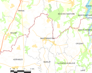
Saint-Sébastien
- commune in Creuse, France
- Country:
- Postal Code: 23160
- Coordinates: 46° 23' 28" N, 1° 31' 53" E
- GPS tracks (wikiloc): [Link]
- Area: 24.98 sq km
- Population: 657

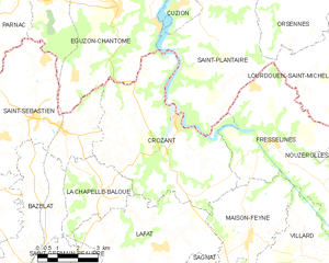
Crozant
- commune in Creuse, France
- Country:
- Postal Code: 23160
- Coordinates: 46° 23' 30" N, 1° 37' 16" E
- GPS tracks (wikiloc): [Link]
- Area: 30.52 sq km
- Population: 459
Lafat
- commune in Creuse, France
- Country:
- Postal Code: 23800
- Coordinates: 46° 20' 5" N, 1° 36' 50" E
- GPS tracks (wikiloc): [Link]
- Area: 21.28 sq km
- Population: 362

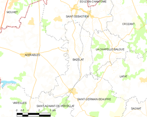
Bazelat
- commune in Creuse, France
- Country:
- Postal Code: 23160
- Coordinates: 46° 21' 8" N, 1° 32' 18" E
- GPS tracks (wikiloc): [Link]
- Area: 13.43 sq km
- Population: 274