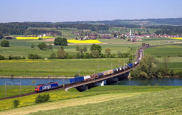
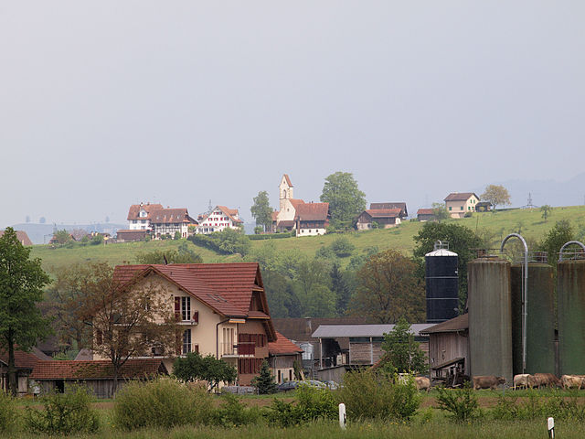
Dietwil (Dietwil)

- municipality in Switzerland
 Hiking in Dietwil
Dietwil, a charming village in the canton of Aargau, Switzerland, is surrounded by beautiful landscapes that offer a variety of hiking opportunities. Here’s what you can expect when hiking in and around Dietwil:
Trails and Scenery
-
Scenic Routes: The region features a mix of gentle hills, lush forests, and pastoral landscapes. You can enjoy panoramic views of the surrounding mountains and valleys as you hike.
-
Well-Marked Trails: Many trails are well-marked, making it easier for hikers of all levels to navigate. Look for the yellow hiking signs indicating various routes.
-
Nearby Nature Reserves: Consider exploring nearby nature reserves or parks, which may offer more challenging hikes with diverse flora and fauna.
Difficulty Levels
- Family-Friendly Hikes: There are trails suitable for families and beginners, often flat or gently rolling, making them perfect for a leisurely outing.
- Moderate Trails: For those seeking a bit more of a challenge, there are moderate trails that include some elevation gain and more rugged terrain.
Hiking Tips
- Weather Check: Always check the weather forecast before heading out, as conditions can change quickly in the mountains.
- Gear: Wear appropriate footwear with good grip, and bring a water bottle, snacks, and a map or GPS device.
- Timing: Plan your hikes during daylight hours, making sure to leave enough time to return before sunset.
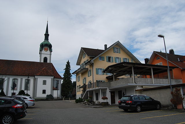
Local Attractions
- Cultural Sites: While hiking, consider stopping by local historical sites or churches to learn about the region's history.
- Refreshments: Look for local inns or restaurants where you can enjoy a meal or drink after your hike.
Best Time to Hike
- Spring and Fall: These seasons often provide the best weather for hiking as temperatures are typically mild, and the scenery is beautiful, with wildflowers in spring and colorful foliage in fall.
By planning ahead and respecting nature, you will have a wonderful hiking experience in Dietwil. Whether you’re looking for a relaxing stroll or a more vigorous trek, this region has plenty to offer! Enjoy your time exploring the beautiful Swiss landscapes!
- Country:

- Postal Code: 6042
- Local Dialing Code: 041
- Licence Plate Code: AG
- Coordinates: 47° 8' 52" N, 8° 23' 42" E


- GPS tracks (wikiloc): [Link]
- AboveSeaLevel: 413 м m
- Area: 5.49 sq km
- Population: 1325
- Web site: http://www.dietwil.ch
- Wikipedia en: wiki(en)
- Wikipedia: wiki(de)
- Wikidata storage: Wikidata: Q64763
- Wikipedia Commons Category: [Link]
- Wikipedia Commons Maps Category: [Link]
- Freebase ID: [/m/0493v1]
- GeoNames ID: Alt: [7285654]
- VIAF ID: Alt: [123849617]
- OSM relation ID: [1684292]
- HDS ID: [1786]
- Swiss municipality code: [4231]
Shares border with regions:
Honau
- municipality in the canton of Lucerne, Switzerland
Hiking in Honau
Honau, Switzerland, is a charming village nestled in the beautiful landscape of the Swiss Alps. While it might not be as widely known as some of the larger Swiss hiking destinations, it offers a variety of scenic trails and outdoor activities that cater to various skill levels....
- Country:
- Postal Code: 6038
- Local Dialing Code: 041
- Licence Plate Code: LU
- Coordinates: 47° 7' 59" N, 8° 24' 22" E
- GPS tracks (wikiloc): [Link]
- AboveSeaLevel: 445 м m
- Area: 1.25 sq km
- Population: 391
- Web site: [Link]


Sins
- municipality in Switzerland
Hiking in Sins
Sins, located in the canton of Aargau in Switzerland, is a charming village that serves as a great starting point for hiking enthusiasts. The surrounding region is characterized by rolling hills, lush meadows, and forests, providing a variety of trails that cater to different skill levels....
- Country:
- Postal Code: 5643
- Local Dialing Code: 041
- Licence Plate Code: AG
- Coordinates: 47° 11' 29" N, 8° 23' 49" E
- GPS tracks (wikiloc): [Link]
- AboveSeaLevel: 410 м m
- Area: 20.28 sq km
- Population: 4315
- Web site: [Link]

Oberrüti
- municipality in Switzerland
Hiking in Oberrüti
Oberrüti, located in the Canton of Aargau in Switzerland, is a charming destination for hiking enthusiasts. The region offers beautiful landscapes, including rolling hills, lush forests, and scenic views of the surrounding mountains. Here are some highlights about hiking in Oberrüti:...
- Country:
- Postal Code: 5647
- Local Dialing Code: 041
- Licence Plate Code: AG
- Coordinates: 47° 10' 1" N, 8° 23' 55" E
- GPS tracks (wikiloc): [Link]
- AboveSeaLevel: 416 м m
- Area: 5.37 sq km
- Population: 1573
- Web site: [Link]
Hünenberg
- municipality in Switzerland
Hiking in Hünenberg
Hünenberg, located in the Canton of Zug in Switzerland, offers a blend of beautiful landscapes, scenic views, and various hiking opportunities. Here are some key points to consider if you’re planning a hike in this area:...
- Country:
- Postal Code: 6331
- Local Dialing Code: 041
- Licence Plate Code: ZG
- Coordinates: 47° 11' 29" N, 8° 25' 11" E
- GPS tracks (wikiloc): [Link]
- AboveSeaLevel: 403 м m
- Area: 18.7 sq km
- Population: 8824
- Web site: [Link]

Inwil
- municipality in the canton of Lucerne, Switzerland
Hiking in Inwil
Inwil, a charming municipality located in the canton of Lucerne in Switzerland, offers various opportunities for hiking enthusiasts. Nestled in the picturesque surroundings of central Switzerland, it's a great starting point for exploring the beautiful landscapes of the region....
- Country:
- Postal Code: 6034
- Local Dialing Code: 041
- Licence Plate Code: LU
- Coordinates: 47° 7' 44" N, 8° 22' 6" E
- GPS tracks (wikiloc): [Link]
- AboveSeaLevel: 515 м m
- Area: 10.32 sq km
- Population: 2557
- Web site: [Link]