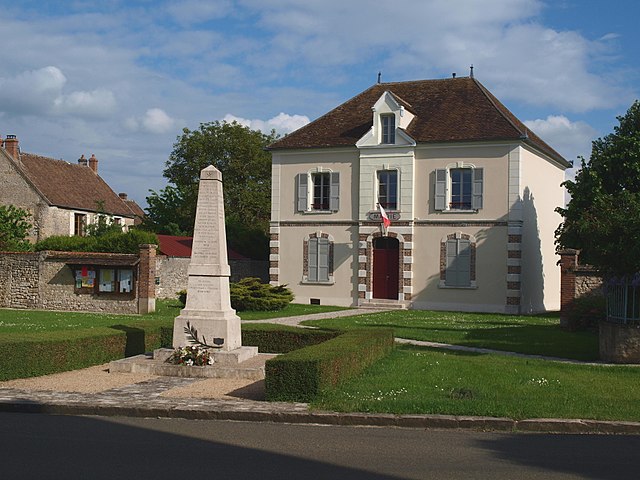
Dordives (Dordives)

- commune in Loiret, France
- Country:

- Postal Code: 45680
- Coordinates: 48° 8' 36" N, 2° 46' 2" E


- GPS tracks (wikiloc): [Link]
- Area: 15.18 sq km
- Population: 3301
- Web site: http://www.dordives.com
- Wikipedia en: wiki(en)
- Wikipedia: wiki(fr)
- Wikidata storage: Wikidata: Q1167472
- Wikipedia Commons Category: [Link]
- Freebase ID: [/m/03nwh97]
- GeoNames ID: Alt: [6434585]
- SIREN number: [214501272]
- BnF ID: [152605197]
- VIAF ID: Alt: [240576746]
- archINFORM location ID: [45925]
- PACTOLS thesaurus ID: [pcrt7ySQy2Bq29]
- WOEID: [589034]
- INSEE municipality code: 45127
Shares border with regions:


Fontenay-sur-Loing
- commune in Loiret, France
- Country:
- Postal Code: 45210
- Coordinates: 48° 6' 15" N, 2° 46' 27" E
- GPS tracks (wikiloc): [Link]
- Area: 9.73 sq km
- Population: 1730
- Web site: [Link]

Bransles
- commune in Seine-et-Marne, France
- Country:
- Postal Code: 77620
- Coordinates: 48° 9' 7" N, 2° 50' 5" E
- GPS tracks (wikiloc): [Link]
- Area: 13.85 sq km
- Population: 553

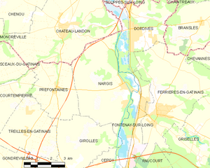
Nargis
- commune in Loiret, France
- Country:
- Postal Code: 45210
- Coordinates: 48° 6' 39" N, 2° 45' 24" E
- GPS tracks (wikiloc): [Link]
- Area: 22.27 sq km
- Population: 1491
- Web site: [Link]

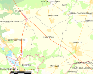
Chaintreaux
- commune in Seine-et-Marne, France
- Country:
- Postal Code: 77460
- Coordinates: 48° 11' 59" N, 2° 49' 10" E
- GPS tracks (wikiloc): [Link]
- Area: 23.92 sq km
- Population: 918

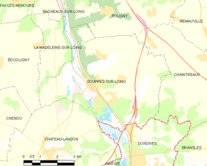
Souppes-sur-Loing
- commune in Seine-et-Marne, France
- Country:
- Postal Code: 77460
- Coordinates: 48° 10' 59" N, 2° 44' 7" E
- GPS tracks (wikiloc): [Link]
- Area: 27.63 sq km
- Population: 5424
- Web site: [Link]

Ferrières-en-Gâtinais
- commune in Loiret, France
- Country:
- Postal Code: 45210
- Coordinates: 48° 5' 25" N, 2° 47' 23" E
- GPS tracks (wikiloc): [Link]
- Area: 27.32 sq km
- Population: 3646
- Web site: [Link]


Château-Landon
- commune in Seine-et-Marne, France
- Country:
- Postal Code: 77570
- Coordinates: 48° 8' 57" N, 2° 42' 2" E
- GPS tracks (wikiloc): [Link]
- Area: 29.35 sq km
- Population: 3040
- Web site: [Link]