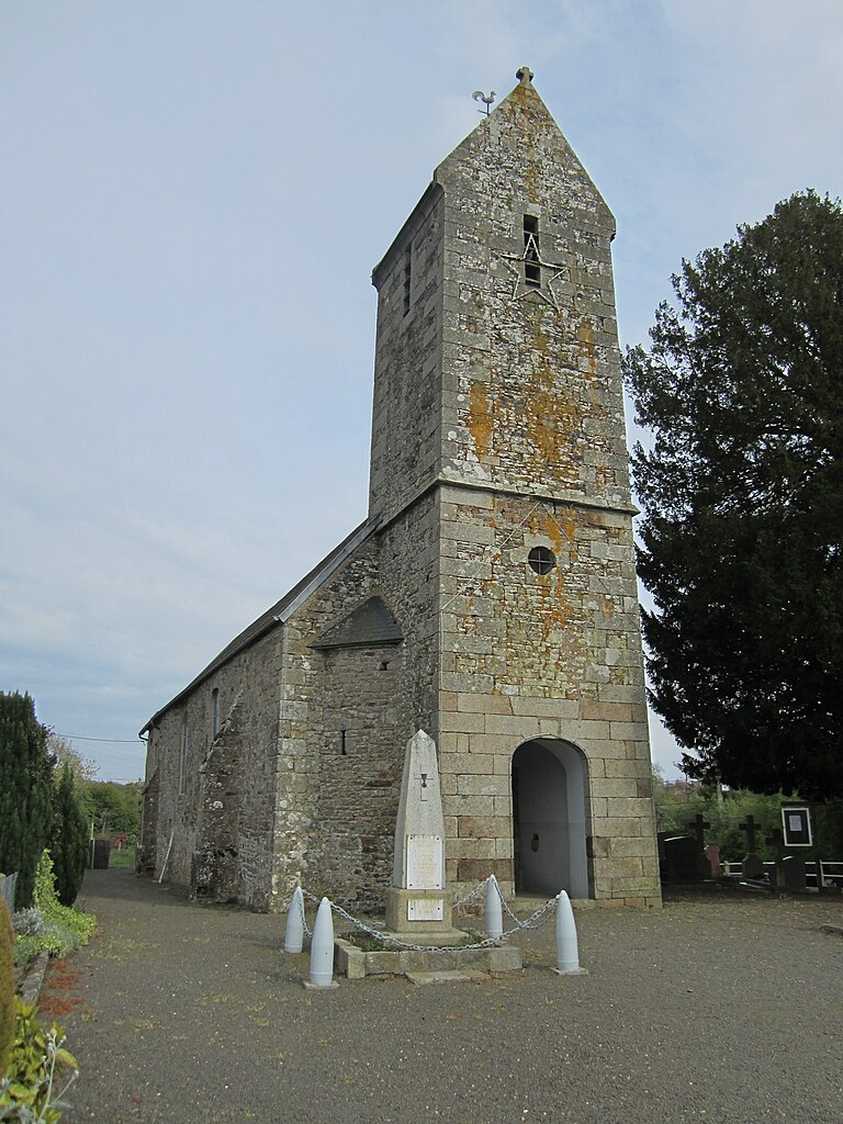
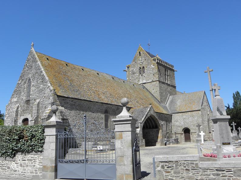
Dragey-Ronthon (Dragey-Ronthon)

- commune in Manche, France
- Country:

- Postal Code: 50530
- Coordinates: 48° 43' 0" N, 1° 30' 0" E


- GPS tracks (wikiloc): [Link]
- AboveSeaLevel: 40 м m
- Area: 15.17 sq km
- Population: 817
- Web site: http://www.dragey-ronthon.com
- Wikipedia en: wiki(en)
- Wikipedia: wiki(fr)
- Wikidata storage: Wikidata: Q385344
- Wikipedia Commons Category: [Link]
- Freebase ID: [/m/03w9kgq]
- Freebase ID: [/m/03w9kgq]
- GeoNames ID: Alt: [3020851]
- GeoNames ID: Alt: [3020851]
- SIREN number: [215001678]
- SIREN number: [215001678]
- BnF ID: [15262144t]
- BnF ID: [15262144t]
- INSEE municipality code: 50167
- INSEE municipality code: 50167
Shares border with regions:


Champeaux
- commune in Manche, France
- Country:
- Postal Code: 50530
- Coordinates: 48° 44' 20" N, 1° 31' 43" E
- GPS tracks (wikiloc): [Link]
- Area: 4.29 sq km
- Population: 361
- Web site: [Link]
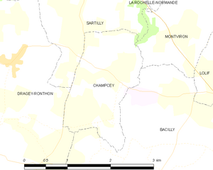
Champcey
- former commune in Manche, France
- Country:
- Postal Code: 50530
- Coordinates: 48° 43' 33" N, 1° 26' 47" E
- GPS tracks (wikiloc): [Link]
- Area: 3.24 sq km
- Population: 225
- Web site: [Link]


Bacilly
- commune in Manche, France
- Country:
- Postal Code: 50530
- Coordinates: 48° 42' 4" N, 1° 26' 27" E
- GPS tracks (wikiloc): [Link]
- Area: 15.88 sq km
- Population: 929
- Web site: [Link]

Angey
- former commune in Manche, France
- Country:
- Postal Code: 50530
- Coordinates: 48° 45' 2" N, 1° 29' 28" E
- GPS tracks (wikiloc): [Link]
- Area: 2.47 sq km
- Population: 266
- Web site: [Link]

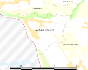
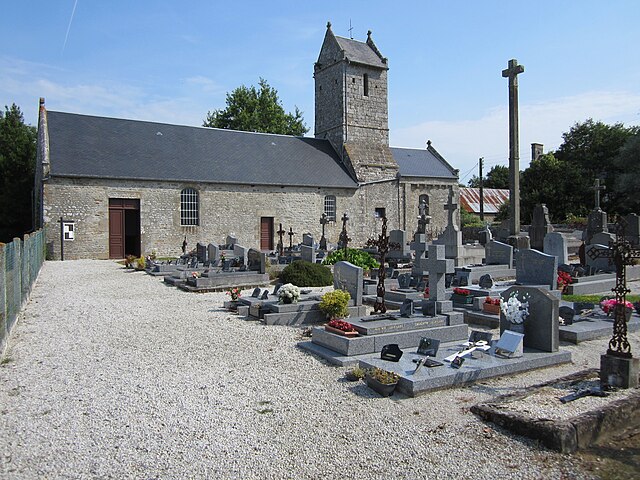
Saint-Jean-le-Thomas
- commune in Manche, France
- Country:
- Postal Code: 50530
- Coordinates: 48° 43' 48" N, 1° 31' 1" E
- GPS tracks (wikiloc): [Link]
- Area: 2.38 sq km
- Population: 423

Genêts
- commune in Manche, France
- Country:
- Postal Code: 50530
- Coordinates: 48° 41' 3" N, 1° 28' 36" E
- GPS tracks (wikiloc): [Link]
- Area: 6.89 sq km
- Population: 431
- Web site: [Link]


Jullouville
- commune in Manche, France
- Country:
- Postal Code: 50740; 50610
- Coordinates: 48° 46' 29" N, 1° 33' 57" E
- GPS tracks (wikiloc): [Link]
- Area: 21.88 sq km
- Population: 2306
- Web site: [Link]