Druye (Druye)

- commune in Indre-et-Loire, France
- Country:

- Postal Code: 37190
- Coordinates: 47° 18' 33" N, 0° 32' 17" E


- GPS tracks (wikiloc): [Link]
- Area: 22.87 sq km
- Population: 970
- Web site: http://www.druye.fr/
- Wikipedia en: wiki(en)
- Wikipedia: wiki(fr)
- Wikidata storage: Wikidata: Q1171292
- Wikipedia Commons Category: [Link]
- Freebase ID: [/m/03nvfmp]
- GeoNames ID: Alt: [6613573]
- SIREN number: [213700990]
- BnF ID: [152576504]
- PACTOLS thesaurus ID: [pcrtl7Iq1W8dVz]
- INSEE municipality code: 37099
Shares border with regions:


Artannes-sur-Indre
- commune in Indre-et-Loire, France
- Country:
- Postal Code: 37260
- Coordinates: 47° 16' 24" N, 0° 35' 57" E
- GPS tracks (wikiloc): [Link]
- Area: 20.97 sq km
- Population: 2615
- Web site: [Link]

Villandry
- commune in Indre-et-Loire, France
- Country:
- Postal Code: 37510
- Coordinates: 47° 20' 22" N, 0° 30' 40" E
- GPS tracks (wikiloc): [Link]
- Area: 17.8 sq km
- Population: 1099
- Web site: [Link]


Pont-de-Ruan
- commune in Indre-et-Loire, France
- Country:
- Postal Code: 37260
- Coordinates: 47° 15' 38" N, 0° 34' 32" E
- GPS tracks (wikiloc): [Link]
- Area: 5.74 sq km
- Population: 1126

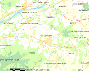
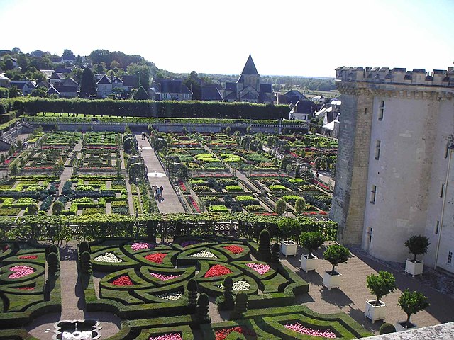
Azay-le-Rideau
- commune in Indre-et-Loire, France
- Country:
- Postal Code: 37190
- Coordinates: 47° 15' 41" N, 0° 27' 58" E
- GPS tracks (wikiloc): [Link]
- Area: 27.34 sq km
- Population: 3434
- Web site: [Link]


Saché
- commune in Indre-et-Loire, France
- Country:
- Postal Code: 37190
- Coordinates: 47° 14' 49" N, 0° 32' 35" E
- GPS tracks (wikiloc): [Link]
- Area: 28.29 sq km
- Population: 1377
- Web site: [Link]


Ballan-Miré
- commune in Indre-et-Loire, France
- Country:
- Postal Code: 37510
- Coordinates: 47° 20' 30" N, 0° 36' 47" E
- GPS tracks (wikiloc): [Link]
- Area: 26.16 sq km
- Population: 7911
- Web site: [Link]


Savonnières
- commune in Indre-et-Loire, France
- Country:
- Postal Code: 37510
- Coordinates: 47° 20' 52" N, 0° 32' 54" E
- GPS tracks (wikiloc): [Link]
- Area: 16.46 sq km
- Population: 3141
- Web site: [Link]


Vallères
- commune in Indre-et-Loire, France
- Country:
- Postal Code: 37190
- Coordinates: 47° 18' 42" N, 0° 28' 27" E
- GPS tracks (wikiloc): [Link]
- Area: 14.72 sq km
- Population: 1193
- Web site: [Link]