canton of Ballan-Miré (canton de Ballan-Miré)

- canton of France
- Country:

- Capital: Ballan-Miré
- Coordinates: 47° 21' 9" N, 0° 34' 14" E


- GPS tracks (wikiloc): [Link]
- Population: 25303
- Wikipedia en: wiki(en)
- Wikipedia: wiki(fr)
- Wikidata storage: Wikidata: Q1276851
- INSEE canton code: [3702]
Includes regions:
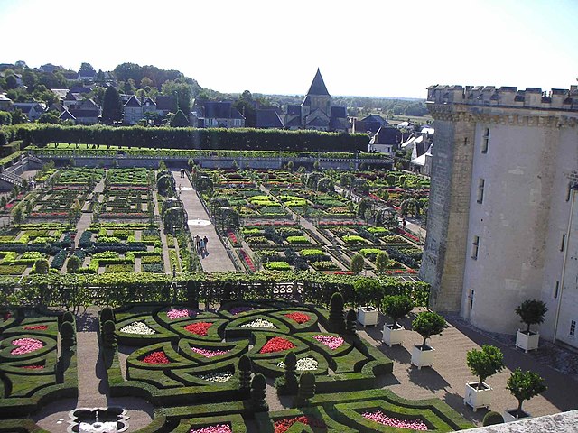

Villandry
- commune in Indre-et-Loire, France
- Country:
- Postal Code: 37510
- Coordinates: 47° 20' 22" N, 0° 30' 40" E
- GPS tracks (wikiloc): [Link]
- Area: 17.8 sq km
- Population: 1099
- Web site: [Link]
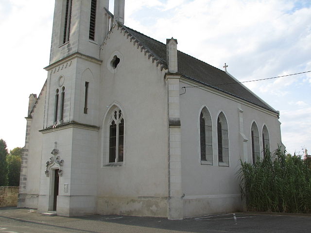

Berthenay
- commune in Indre-et-Loire, France
- Country:
- Postal Code: 37510
- Coordinates: 47° 21' 47" N, 0° 31' 27" E
- GPS tracks (wikiloc): [Link]
- Area: 7.24 sq km
- Population: 724


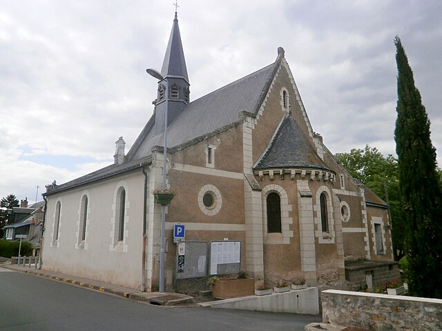
Druye
- commune in Indre-et-Loire, France
- Country:
- Postal Code: 37190
- Coordinates: 47° 18' 33" N, 0° 32' 17" E
- GPS tracks (wikiloc): [Link]
- Area: 22.87 sq km
- Population: 970
- Web site: [Link]

Saint-Genouph
- commune in Indre-et-Loire, France
- Country:
- Postal Code: 37510
- Coordinates: 47° 22' 42" N, 0° 35' 55" E
- GPS tracks (wikiloc): [Link]
- Area: 4.74 sq km
- Population: 1055
- Web site: [Link]


Ballan-Miré
- commune in Indre-et-Loire, France
- Country:
- Postal Code: 37510
- Coordinates: 47° 20' 30" N, 0° 36' 47" E
- GPS tracks (wikiloc): [Link]
- Area: 26.16 sq km
- Population: 7911
- Web site: [Link]


La Riche
- commune in Indre-et-Loire, France
- Country:
- Postal Code: 37520
- Coordinates: 47° 23' 21" N, 0° 39' 38" E
- GPS tracks (wikiloc): [Link]
- Area: 8.17 sq km
- Population: 10403
- Web site: [Link]


Savonnières
- commune in Indre-et-Loire, France
- Country:
- Postal Code: 37510
- Coordinates: 47° 20' 52" N, 0° 32' 54" E
- GPS tracks (wikiloc): [Link]
- Area: 16.46 sq km
- Population: 3141
- Web site: [Link]