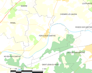
Fercé-sur-Sarthe (Fercé-sur-Sarthe)
- commune in Sarthe, France
- Country:

- Postal Code: 72430
- Coordinates: 47° 54' 4" N, 0° 1' 54" E


- GPS tracks (wikiloc): [Link]
- Area: 12.11 sq km
- Population: 583
- Web site: http://www.fercesursarthe.fr/
- Wikipedia en: wiki(en)
- Wikipedia: wiki(fr)
- Wikidata storage: Wikidata: Q545877
- Wikipedia Commons Category: [Link]
- Freebase ID: [/m/03qj18t]
- GeoNames ID: Alt: [6442574]
- SIREN number: [217201318]
- BnF ID: [15273687x]
- Twitter username: Alt: [commune_Ferce]
- INSEE municipality code: 72131
Shares border with regions:


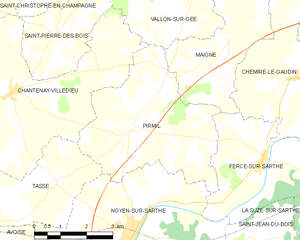
Pirmil
- commune in Sarthe, France
- Country:

- Postal Code: 72430
- Coordinates: 47° 54' 43" N, 0° 5' 54" E


- GPS tracks (wikiloc): [Link]
- Area: 17.4 sq km
- Population: 528


Chemiré-le-Gaudin
- commune in Sarthe, France
- Country:

- Postal Code: 72210
- Coordinates: 47° 55' 42" N, 0° 0' 54" E


- GPS tracks (wikiloc): [Link]
- Area: 22.79 sq km
- Population: 958


Noyen-sur-Sarthe
- commune in Sarthe, France
- Country:

- Postal Code: 72430
- Coordinates: 47° 52' 23" N, 0° 5' 56" E


- GPS tracks (wikiloc): [Link]
- Area: 43.58 sq km
- Population: 2654
- Web site: [Link]


Saint-Jean-du-Bois
- commune in Sarthe, France
- Country:

- Postal Code: 72430
- Coordinates: 47° 52' 20" N, 0° 2' 24" E


- GPS tracks (wikiloc): [Link]
- Area: 14.62 sq km
- Population: 636


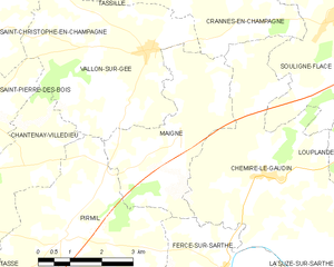
Maigné
- commune in Sarthe, France
- Country:

- Postal Code: 72210
- Coordinates: 47° 56' 16" N, 0° 3' 17" E


- GPS tracks (wikiloc): [Link]
- Area: 11.5 sq km
- Population: 345


La Suze-sur-Sarthe
- commune in Sarthe, France
- Country:

- Postal Code: 72210
- Coordinates: 47° 53' 23" N, 0° 1' 31" E


- GPS tracks (wikiloc): [Link]
- AboveSeaLevel: 76 м m
- Area: 21.4 sq km
- Population: 4460
- Web site: [Link]
