canton of La Suze-sur-Sarthe (canton de La Suze-sur-Sarthe)

- canton of France
- Country:

- Capital: La Suze-sur-Sarthe
- Coordinates: 47° 54' 49" N, 0° 3' 51" E


- GPS tracks (wikiloc): [Link]
- Population: 27066
- Wikipedia en: wiki(en)
- Wikipedia: wiki(fr)
- Wikidata storage: Wikidata: Q1725678
- INSEE canton code: [7221]
Includes regions:

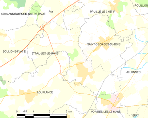
Étival-lès-le-Mans
- commune in Sarthe, France
- Country:
- Postal Code: 72700
- Coordinates: 47° 57' 23" N, 0° 5' 22" E
- GPS tracks (wikiloc): [Link]
- Area: 10.34 sq km
- Population: 1953
- Web site: [Link]


Roézé-sur-Sarthe
- commune in Sarthe, France
- Country:
- Postal Code: 72210
- Coordinates: 47° 53' 45" N, 0° 4' 1" E
- GPS tracks (wikiloc): [Link]
- Area: 26.46 sq km
- Population: 2631


Voivres-lès-le-Mans
- commune in Sarthe, France
- Country:
- Postal Code: 72210
- Coordinates: 47° 55' 47" N, 0° 4' 20" E
- GPS tracks (wikiloc): [Link]
- Area: 11.44 sq km
- Population: 1379


Souligné-Flacé
- commune in Sarthe, France
- Country:
- Postal Code: 72210
- Coordinates: 47° 58' 27" N, 0° 0' 54" E
- GPS tracks (wikiloc): [Link]
- Area: 16.49 sq km
- Population: 692


Chemiré-le-Gaudin
- commune in Sarthe, France
- Country:
- Postal Code: 72210
- Coordinates: 47° 55' 42" N, 0° 0' 54" E
- GPS tracks (wikiloc): [Link]
- Area: 22.79 sq km
- Population: 958

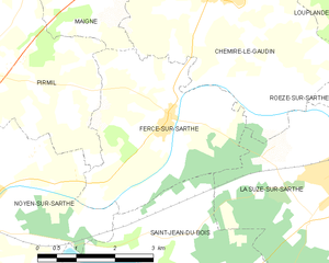
Fercé-sur-Sarthe
- commune in Sarthe, France
- Country:
- Postal Code: 72430
- Coordinates: 47° 54' 4" N, 0° 1' 54" E
- GPS tracks (wikiloc): [Link]
- Area: 12.11 sq km
- Population: 583
- Web site: [Link]

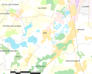
Spay, Sarthe
- commune in Sarthe, France
- Country:
- Postal Code: 72700
- Coordinates: 47° 55' 24" N, 0° 9' 3" E
- GPS tracks (wikiloc): [Link]
- Area: 14.22 sq km
- Population: 2898
- Web site: [Link]

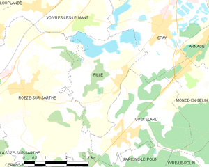
Fillé
- commune in Sarthe, France
- Country:
- Postal Code: 72210
- Coordinates: 47° 53' 55" N, 0° 7' 28" E
- GPS tracks (wikiloc): [Link]
- Area: 10.07 sq km
- Population: 1518
- Web site: [Link]


La Suze-sur-Sarthe
- commune in Sarthe, France
- Country:
- Postal Code: 72210
- Coordinates: 47° 53' 23" N, 0° 1' 31" E
- GPS tracks (wikiloc): [Link]
- AboveSeaLevel: 76 м m
- Area: 21.4 sq km
- Population: 4460
- Web site: [Link]


Guécélard
- commune in Sarthe, France
- Country:
- Postal Code: 72230
- Coordinates: 47° 52' 33" N, 0° 7' 46" E
- GPS tracks (wikiloc): [Link]
- Area: 12.18 sq km
- Population: 2976
- Web site: [Link]


Parigné-le-Pôlin
- commune in Sarthe, France
- Country:
- Postal Code: 72330
- Coordinates: 47° 51' 2" N, 0° 6' 29" E
- GPS tracks (wikiloc): [Link]
- Area: 13.85 sq km
- Population: 1093
- Web site: [Link]


Louplande
- commune in Sarthe, France
- Country:
- Postal Code: 72210
- Coordinates: 47° 56' 36" N, 0° 2' 30" E
- GPS tracks (wikiloc): [Link]
- Area: 18.47 sq km
- Population: 1472
- Web site: [Link]