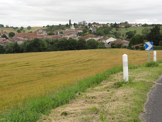
Ferrières (Ferrières)

- commune in Meurthe-et-Moselle, France
- Country:

- Postal Code: 54210
- Coordinates: 48° 33' 16" N, 6° 17' 37" E


- GPS tracks (wikiloc): [Link]
- Area: 6.25 sq km
- Population: 303
- Wikipedia en: wiki(en)
- Wikipedia: wiki(fr)
- Wikidata storage: Wikidata: Q220377
- Wikipedia Commons Category: [Link]
- Freebase ID: [/m/03qdgyq]
- GeoNames ID: Alt: [6454297]
- SIREN number: [215401928]
- BnF ID: [152642615]
- INSEE municipality code: 54192
Shares border with regions:
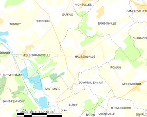
Haussonville
- commune in Meurthe-et-Moselle, France
- Country:
- Postal Code: 54290
- Coordinates: 48° 31' 44" N, 6° 19' 33" E
- GPS tracks (wikiloc): [Link]
- Area: 11.18 sq km
- Population: 303


Coyviller
- commune in Meurthe-et-Moselle, France
- Country:
- Postal Code: 54210
- Coordinates: 48° 35' 13" N, 6° 16' 56" E
- GPS tracks (wikiloc): [Link]
- Area: 4.53 sq km
- Population: 143

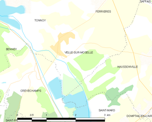
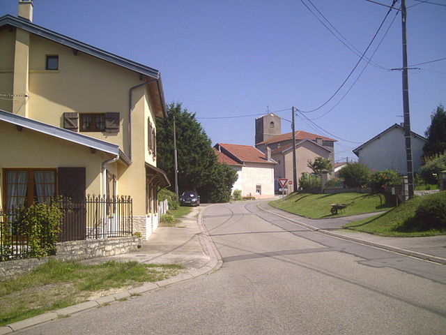
Velle-sur-Moselle
- commune in Meurthe-et-Moselle, France
- Country:
- Postal Code: 54290
- Coordinates: 48° 31' 49" N, 6° 16' 35" E
- GPS tracks (wikiloc): [Link]
- Area: 4.47 sq km
- Population: 281
- Web site: [Link]

Saffais
- commune in Meurthe-et-Moselle, France
- Country:
- Postal Code: 54210
- Coordinates: 48° 33' 20" N, 6° 18' 42" E
- GPS tracks (wikiloc): [Link]
- Area: 4.04 sq km
- Population: 118


Rosières-aux-Salines
- commune in Meurthe-et-Moselle, France
- Country:
- Postal Code: 54110
- Coordinates: 48° 35' 32" N, 6° 20' 0" E
- GPS tracks (wikiloc): [Link]
- Area: 26.95 sq km
- Population: 2865
- Web site: [Link]

Tonnoy
- commune in Meurthe-et-Moselle, France
- Country:
- Postal Code: 54210
- Coordinates: 48° 33' 7" N, 6° 15' 2" E
- GPS tracks (wikiloc): [Link]
- Area: 12.35 sq km
- Population: 725
- Web site: [Link]