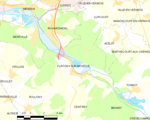
canton of Saint-Nicolas-de-Port (canton de Saint-Nicolas-de-Port)
- canton of France
- Country:

- Capital: Saint-Nicolas-de-Port
- Coordinates: 48° 35' 26" N, 6° 15' 57" E


- GPS tracks (wikiloc): [Link]
- Wikidata storage: Wikidata: Q1727285
- INSEE canton code: [5425]
Includes regions:


Azelot
- commune in Meurthe-et-Moselle, France
- Country:
- Postal Code: 54210
- Coordinates: 48° 35' 21" N, 6° 14' 1" E
- GPS tracks (wikiloc): [Link]
- Area: 4.75 sq km
- Population: 424
- Web site: [Link]


Coyviller
- commune in Meurthe-et-Moselle, France
- Country:
- Postal Code: 54210
- Coordinates: 48° 35' 13" N, 6° 16' 56" E
- GPS tracks (wikiloc): [Link]
- Area: 4.53 sq km
- Population: 143
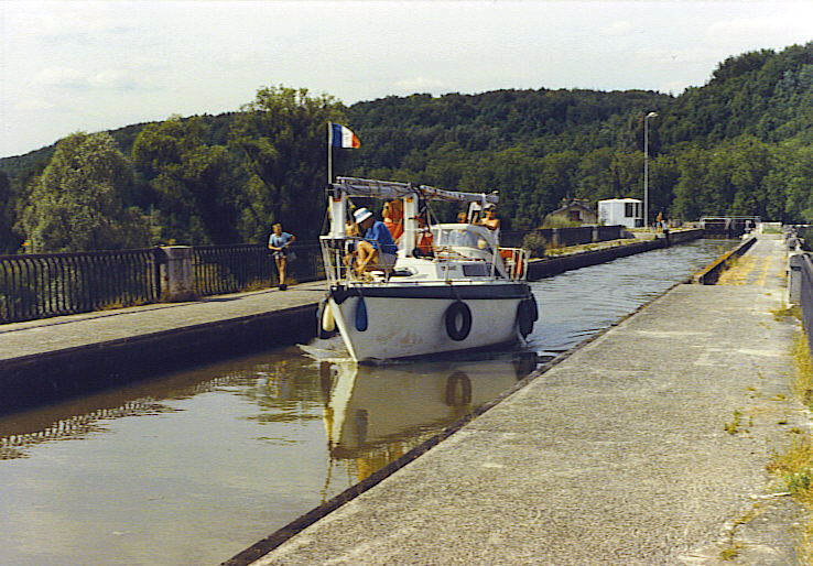
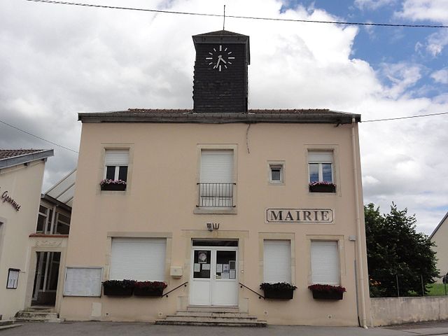
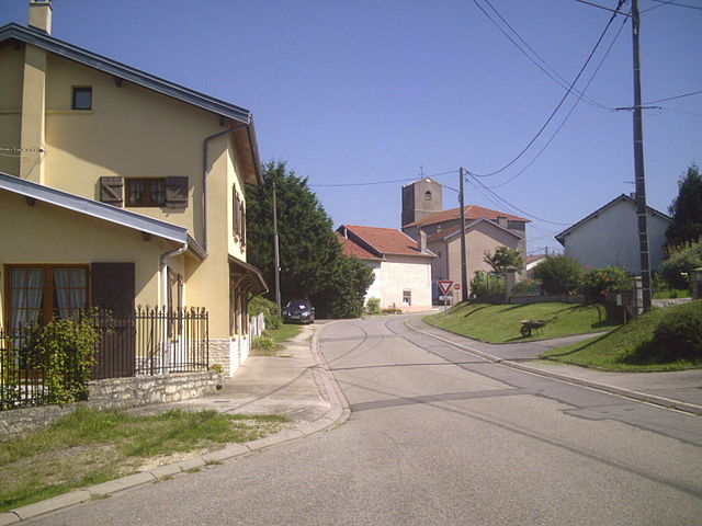
Flavigny-sur-Moselle
- commune in Meurthe-et-Moselle, France
- Country:
- Postal Code: 54630
- Coordinates: 48° 34' 9" N, 6° 11' 16" E
- GPS tracks (wikiloc): [Link]
- Area: 17.3 sq km
- Population: 1725
- Web site: [Link]

Ville-en-Vermois
- commune in Meurthe-et-Moselle, France
- Country:
- Postal Code: 54210
- Coordinates: 48° 36' 51" N, 6° 15' 15" E
- GPS tracks (wikiloc): [Link]
- Area: 10.53 sq km
- Population: 603
- Web site: [Link]

Saffais
- commune in Meurthe-et-Moselle, France
- Country:
- Postal Code: 54210
- Coordinates: 48° 33' 20" N, 6° 18' 42" E
- GPS tracks (wikiloc): [Link]
- Area: 4.04 sq km
- Population: 118


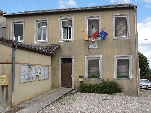
Saint-Nicolas-de-Port
- commune in Meurthe-et-Moselle, France
- Country:
- Postal Code: 54210
- Coordinates: 48° 37' 51" N, 6° 18' 8" E
- GPS tracks (wikiloc): [Link]
- AboveSeaLevel: 232 м m
- Area: 8.23 sq km
- Population: 7618
- Web site: [Link]


Lupcourt
- commune in Meurthe-et-Moselle, France
- Country:
- Postal Code: 54210
- Coordinates: 48° 36' 41" N, 6° 14' 7" E
- GPS tracks (wikiloc): [Link]
- Area: 6.94 sq km
- Population: 450


Ferrières
- commune in Meurthe-et-Moselle, France
- Country:
- Postal Code: 54210
- Coordinates: 48° 33' 16" N, 6° 17' 37" E
- GPS tracks (wikiloc): [Link]
- Area: 6.25 sq km
- Population: 303


Rosières-aux-Salines
- commune in Meurthe-et-Moselle, France
- Country:
- Postal Code: 54110
- Coordinates: 48° 35' 32" N, 6° 20' 0" E
- GPS tracks (wikiloc): [Link]
- Area: 26.95 sq km
- Population: 2865
- Web site: [Link]

Burthecourt-aux-Chênes
- commune in Meurthe-et-Moselle, France
- Country:
- Postal Code: 54210
- Coordinates: 48° 35' 6" N, 6° 14' 58" E
- GPS tracks (wikiloc): [Link]
- Area: 5.59 sq km
- Population: 104

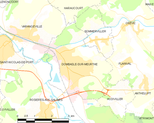
Dombasle-sur-Meurthe
- commune in Meurthe-et-Moselle, France
- Country:
- Postal Code: 54110
- Coordinates: 48° 37' 30" N, 6° 20' 59" E
- GPS tracks (wikiloc): [Link]
- Area: 11.21 sq km
- Population: 9828
- Web site: [Link]


Manoncourt-en-Vermois
- commune in Meurthe-et-Moselle, France
- Country:
- Postal Code: 54210
- Coordinates: 48° 36' 3" N, 6° 15' 59" E
- GPS tracks (wikiloc): [Link]
- Area: 6.68 sq km
- Population: 341

Tonnoy
- commune in Meurthe-et-Moselle, France
- Country:
- Postal Code: 54210
- Coordinates: 48° 33' 7" N, 6° 15' 2" E
- GPS tracks (wikiloc): [Link]
- Area: 12.35 sq km
- Population: 725
- Web site: [Link]